
We took the ferry 90 minutes north out of Kirkwall to OS map 5 Orkney Northern Isles and the island of Westray, home to 600 people and many sheep and cows. On the way we met Colin, one if its residents, a quietly spoken retired businessman from Aberdeenshire who built his own home next to the sea 10 years ago after spending a rainy holiday in Westray. Among the many things he told us, we learned that when you get your wheelie bin in Westray, it comes with a chain and a wooden stake! He said that people are moving there in greater numbers from far away since the pandemic, and that they often have to learn about the local ways. “If a Westray man tells you to do something, you do it”, he said, before telling us of the couple from Stoke-on-Trent who failed to take local advice to anchor their new shed to the ground with stakes, and found it dumped by the wind on the roof of their house!
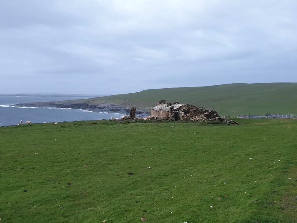
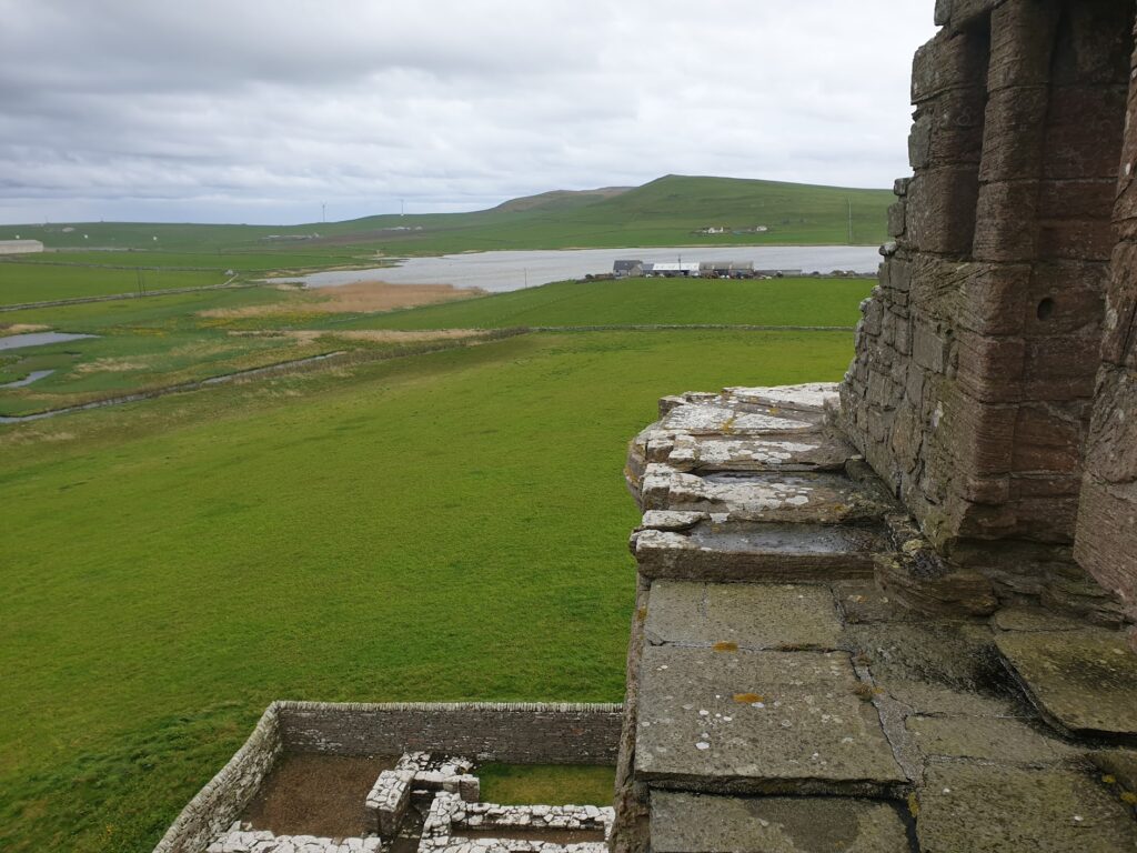
The wind was certainly blowing when we arrived in Westray. Our first stop was at the low cliffs of Castle o’Burrian, another successful puffin viewing spot, where they can be seen at very close quarters. I never imagined we would have such good luck seeing these charming little clowns of the bird world. There were plenty of other sea birds there, too, and had the weather been gentler we would have stayed longer. Instead we pushed on the 7 miles or so to the island’s only real village, Pierowall, where we checked in to the cosy Pierowall Hotel just as the rain set in. It was actually very enjoyable to nap in our room for a couple of hours until it stopped. Then, we just had time before dinner to walk up the road to visit the impressive ruin of 16th century Nortland Castle, which would be a major tourist attraction if it were not in such a remote location. We only had the resident pigeons for company as we climbed its stone staircases and looked out over the island and across the sweeping bay.
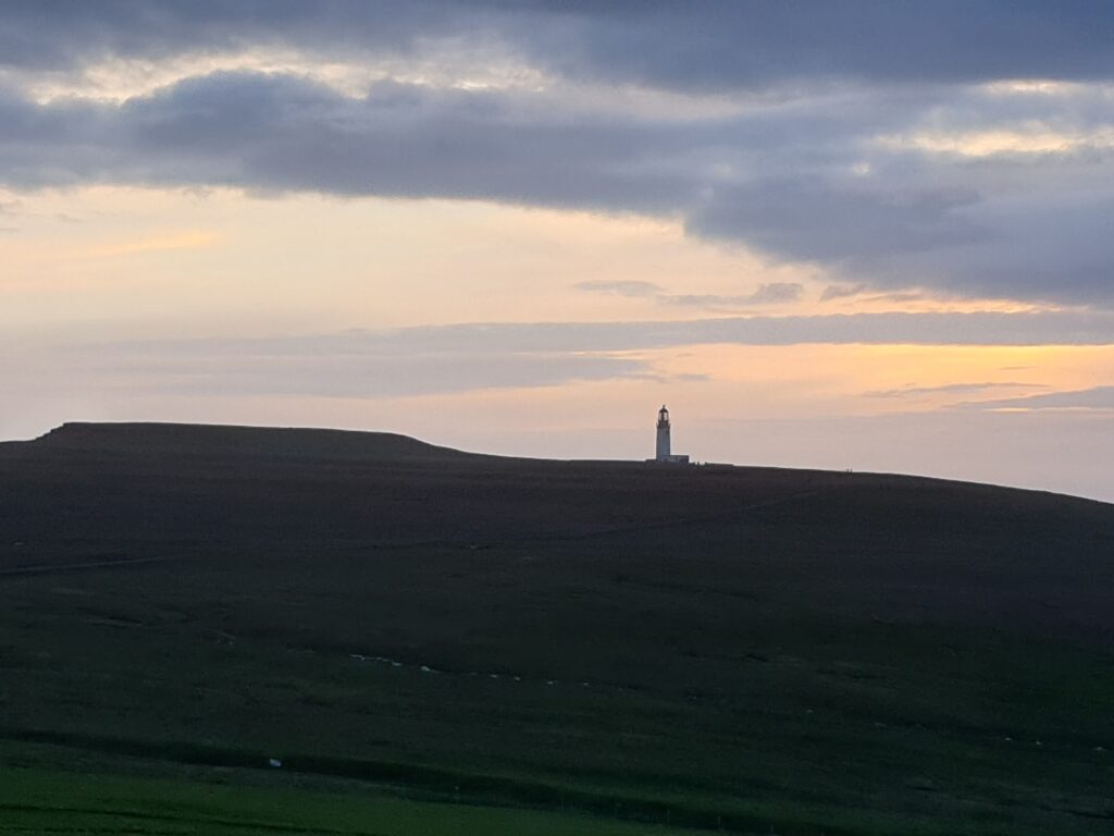
After dinner the weather was good. We decided to go out again on our bikes and see Noup Head, the farthest north-westerly tip of Westray, where the otherwise low lying landscape rises to sheer cliffs 76m high above a churning sea. It was only 4 miles away; but 2 of those miles were on an unsurfaced track that led up to the lighthouse on the cliff top. The whole thing took longer and was harder than we had bargained for, but it was worth it. The winds at Noup Head were strong enough to scare me away from the cliffs and made our intended walk a non-starter. But the views were amazing, the sky was full of sea birds, and the light took on a surreal quality as we gingerly made our way back through the windswept evening, feeling more than ever that we had come to somewhere far away and close to the edge of the world.
It was still light but almost 10pm when we arrived back to the sanctuary of the tiny hotel. I ordered an Orcadian Scapa single malt scotch with a sense that on this occasion at least, it was fully deserved!
2 replies on “Map 5 – Westray”
Sounds like an amazing part of our country up there. 😊❤️
A remarkable experience that you wouldn’t have had if not for the maps thing! Great to read.