Today I cycled almost every road in North Uist. Not literally every mile; but pretty close. Especially those parts that fall within the boundaries of OS map 18. Which is to say most of it. There’s a little bit that falls off the bottom, but that is going to be done next week anyway. In truth, the majority of North Uist fits in the bottom half of map 18 and there aren’t too many roads to go at; but I had a good go at the ones there are. I did miss a couple that don’t lead anywhere, plus another oddly signed C road that cuts the western corner of the island. But I covered the remaining 64 miles in a roughly clockwise manner that looks on Strava quite like the outline of the Isle of Wight, only with an antena.
The day began in Uig on the north-west side of Skye. The ferry left at 9.30am and it was the smoothest of crossings to Lochmaddy, whose natural harbour provides an attractive, island studded introduction to the Outer Hebrides. It’s only a small village in reality; but it doubles up as the island’s capital and main settlement, so it has a couple of hotels, a police station, a sheriff’s court and other important amenities. Once you leave town, it’s pretty quiet. The main roads on North Uist describe a rough head shape with two large ears, a bit like an elephant without a trunk. Lochmaddy sits at the right or eastern earlobe, if you will. My coast-to-coast cycling extremity (if you are not counting St Kilda, and I’m not), lies at the equivalent point on the left ear and goes by the name of Balranald Nature Reserve, or Hogha Gearraidh if you prefer to go by the adjacent coastal settlement.
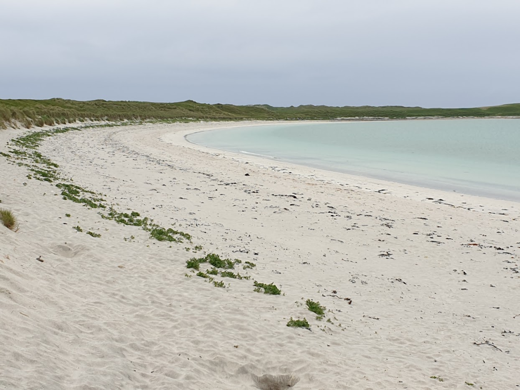
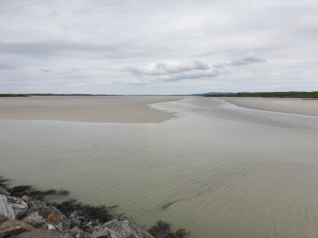
In geographical terms, the island can be divided quite neatly into two halves. The eastern half is made up of countless tiny freshwater lochans, many covered in water lillies, merging imperceptibly into a myriad of sea lochs peppered with small islands and rocks. As a very rough rule of thumb, the water on the inside of the ring of main roads is fresh. I don’t envy the OS mapping that lot. As a result, a lot of the east side is uninhabited. Where it is not wet, it is mountainous; but not like Harris (which is visible to the north, its tall mountains dominating the Sound of Harris). Here, the hills stand alone, small but rocky and proud, viewed mostly from a distance across the watery landscape. The west side of the island is quite different. There are a few low hills; but most of it is green, low lying farmland, strewn with rocks, ablaze with daisies and buttercups, and populated by people, sheep, cows and a wide variety of birds. The north and west coasts are fringed with dunes of the whitest sand, stretching for miles at low tide. Some of the beaches are very beautiful and almost completely deserted. When the sun shines, as it did on and off today, the sea turns a tropical turquoise blue and you could easily imagine yourself somewhere else entirely. The whole island is no more than 20 miles wide and perhaps 10 miles from top to bottom. All of which helps to explain the relative ease with which I conquered most of its road network.
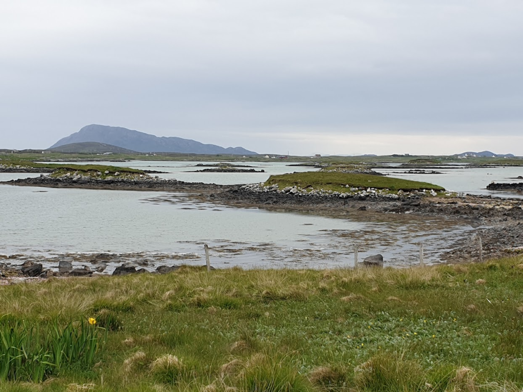
The pedants among you may point to the fact that I actually visited not one, but three islands today, connected by man-made causeways. The first was Baleshare, a flattish expanse of green fringed with white sand and dotted with farms, that lies just off the west side of the main island where the elephant’s trunk should be. To get there, I had to venture beyond the bottom of map 18; but I did so in order to reappear where one of its very small roads runs out, back in bounds at grid ref 789635. There’s nothing there in particular. That was what gave Baleshare its charm, really. That and its beaches. A few of the more adventurous camper vans had made it out here. One all the way from Germany. I could see why.
Food stops in these parts are few and far apart; but I made the most of what there was and was pleased to find that at Balranald Nature Reserve there is a camp site with a popular Seafood cabin that also served generous slices of home made cake. When I arrived, there was a frisson of excitement among a group of birdwatchers of mature years. I wondered if they had seen something rare or special. But, no, one of their lady members had managed to lock herself into the camp site toilets! She emerged looking sheepish. A man, who I took to know her well, told us she does it all the time.
After a short time alone on the beach, I realised I needed to make serious progress, since it was already 4pm and I had dinner in Lochmaddy booked for 7pm. The breeze, from the east, was also against me as I put my head down. This next section, about 14 miles long, was very quiet and the main road was anything but. There were a number of sleek new homes dotted along the sheltered bays with superb views north to Harris. Sheep wandered out on the wet, white sand of Traigh Bhalaigh, browsing the seaweed which scented the air. It was a grand scene to behold, made even better, I discovered, by the yellow lenses in my sunglasses. I changed them over out of curiosity and now think – genuinely – that these should be standard issue. They instantly make the whole world seem like the sun is shining, which of course lifts the spirit hugely. Conversely, when you take them off, you are hit by a sudden wave of all encompassing blueness that seems quite shockingly dull and inky. The yellow lens world is a better place and I was glad to let it fool me all day!
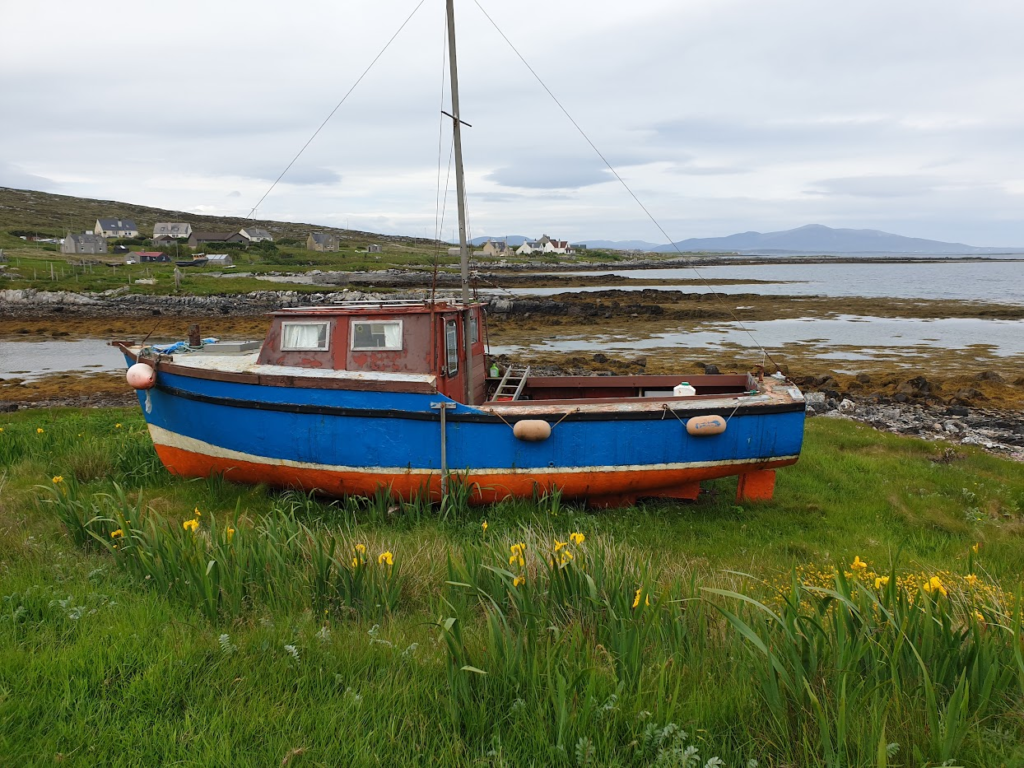
To create the aforementioned antena, I made the extra 5 mile dash up to the connected island and village of Berneray (and back), where the Harris ferry leaves from the north end of the causeway. I was treated to two owls – one very large and brown, one much smaller and paler – flying noiselessly right across my path on the way. What a different place Berneray must be now that it is no longer isolated by water. Economically, this modern connectedness is probably a lifesaver for many of these smaller islands; but I wonder if some of their unique identity has also been lost forever.
Tomorrow I have to get over to map 19 and it is miles away! Luckily I have the car waiting to transport me back up to the necessary latitude, saving me, for now at least, another crossing of Skye’s busy roads in the process. I’m looking forward to being reunited with Wester Ross. It has been more than 20 years, which is way too long. And I have an offer of accommodation when I get there. The ferry leaves at 7.15am, which for me is a form of torture. So I think that will do for today!
3 replies on “Map 18 – North Uist / Uibhist A Tuath”
From Wester Ross to Nova Scotia….?
When you Goooooooooo!
Hope that you managed to get off the Uists today Mark – events and weather were not in your favour
Phil & Sarah