
You can’t beat a good view, and you would have to work very hard to beat the view that my new friends Geoff and Marianne have from their cosy cottage. It sits above the harbour in Cove, on the west side of Loch Ewe in an extremity of Wester Ross. I first saw it when I arrived there after 10.30pm last night, several hours later than planned due to the North Uist Calmac ferry delay. They look out over the extensive, deep sea loch and its islands to some of Scotland’s wildest and most remote mountains, inaccessible to the casual walker because of their distance from a road. It is good to know that such places still exist in this country, where true wilderness is largely a thing of the past. As I sat up late drinking whisky with Geoff, putting the world to rights, the vista slowly faded away into darkness, only to reappear a couple of hours later as we were about to retire to bed! The nights up here in June are very short.
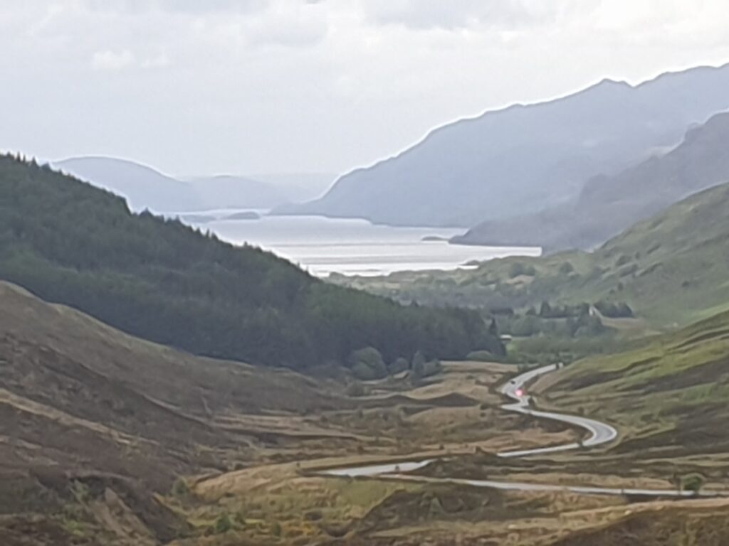
To get myself back on track, I drove the car to Redpoint, a place so far to the left of OS map 19 that they had to make the edge of the map bulge to include it. The OS have done this here and there to get around slicing off small bits of land from the mass to which they are joined. When I reached Redpoint, on the coast at the end of 9 miles of single track road below Gairloch, the wind was howling in from the south west so strongly that cycling into it was basically not possible. Luckily, since I was heading roughly east, this worked to my advantage for most of the 63 miles I covered this afternoon.
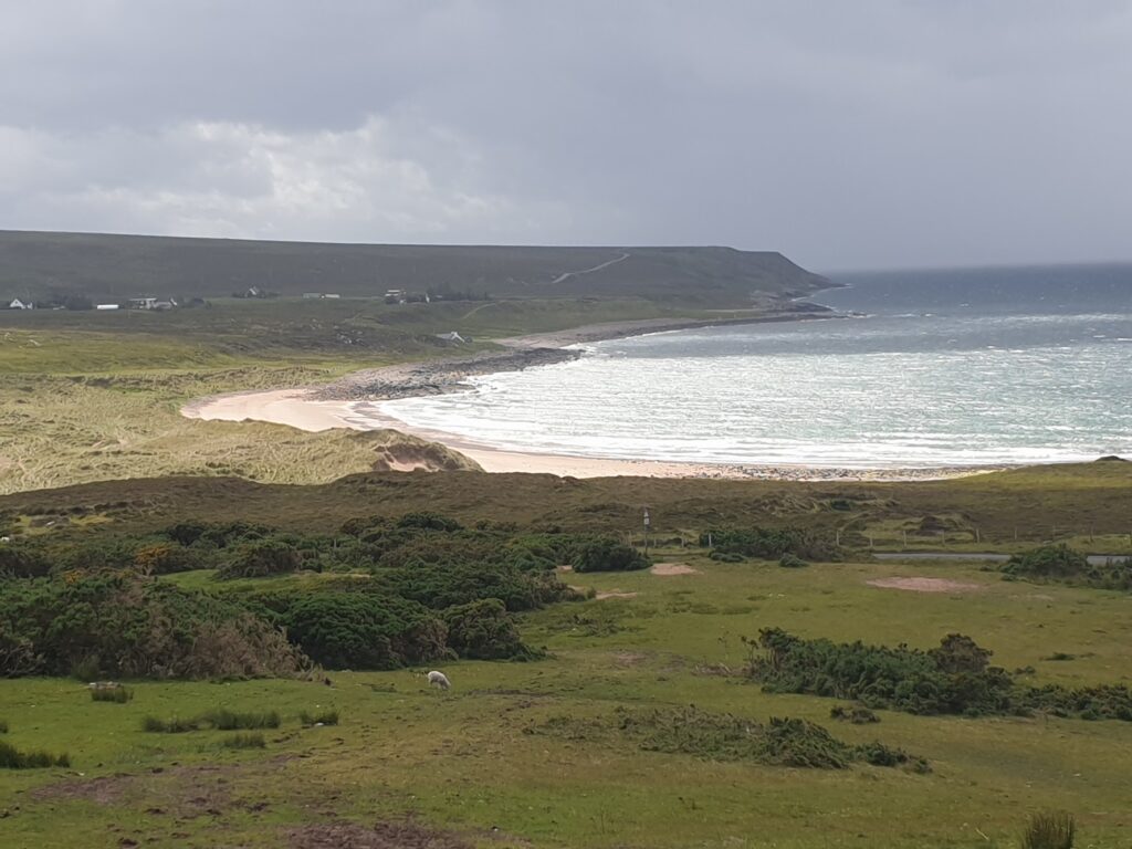
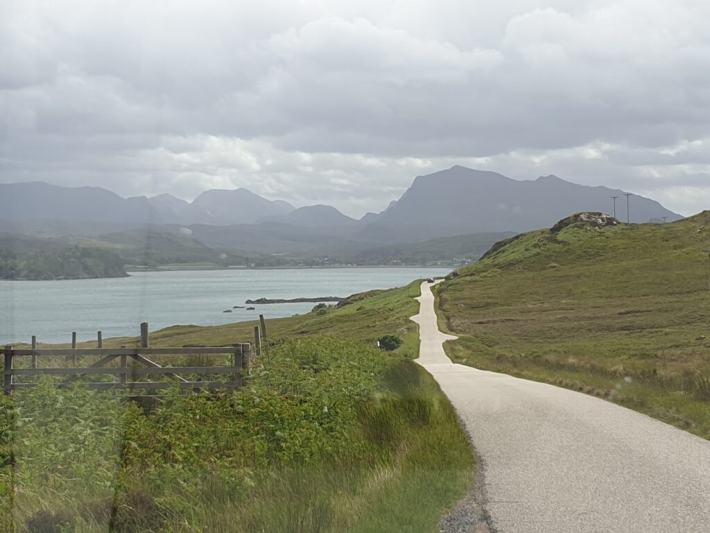
There were 2 routes available but I had been so impressed by the drive the night before that I was very happy to let the wind steer me along the more southerly one. This followed a broad, flat bottomed valley along the wooded shores of beautiful Loch Maree. Its blue waters run in a line north west to south east beneath a ridge of mountains crowned by the imperious Slioch, unmissable in its rocky grandeur, head and shoulders above all its neighbours and sloping steeply straight down to the loch shores below. It dominates the view for most of the 14 miles or so that you follow the loch, looking west across the valley to an ever changing collection of other peaks of varying shape and size. Taken as a whole, with its mountains, broad bays, sandy beaches, rocky inlets and lush, green sheltered glades, Wester Ross is captivating. Its main settlement, Gairloch, felt to me like a very liveable place, warmed as it is by the gulf stream. I stopped for a coffee in the museum cafe and found the modern building, like the place, to be unpretentious and attractive. It feels like a place to return to.
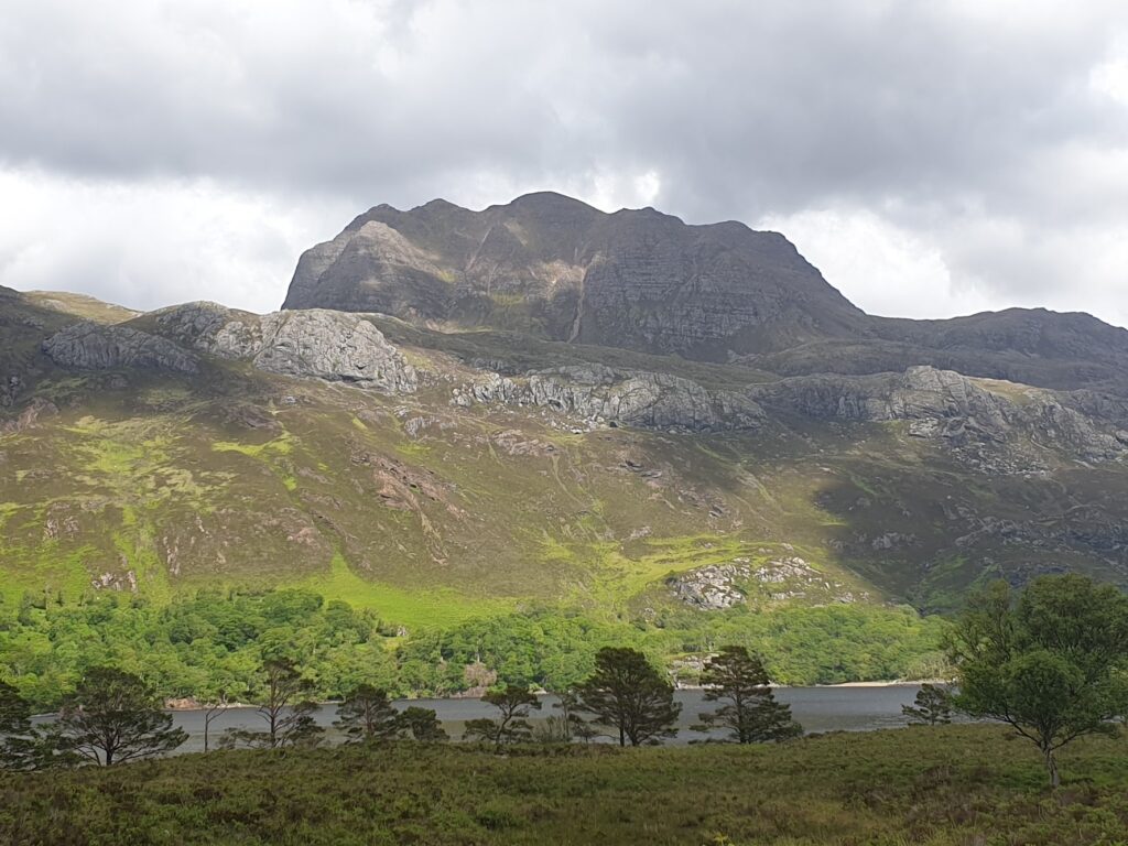
Wind apart, the weather was OK, with high, fast moving clouds that let the sun through here and there and kept the mountains on display the whole time. It rained for 10 minutes before I arrived at tiny Kinlochewe, little more than a road junction with a hotel, petrol station and cafe; but a very welcome place to rest and recharge. The next section was a long, hard climb into the wind, which seemed to have funnelled itself unhelpfully through the rising valley. The reward at the top was a viewpoint looking back down to the north at Loch Maree, framed by Slioch and the other hills. It really was exceptional stuff that continued to raise the bar for best scenery as I completed the crossing of another OS map.
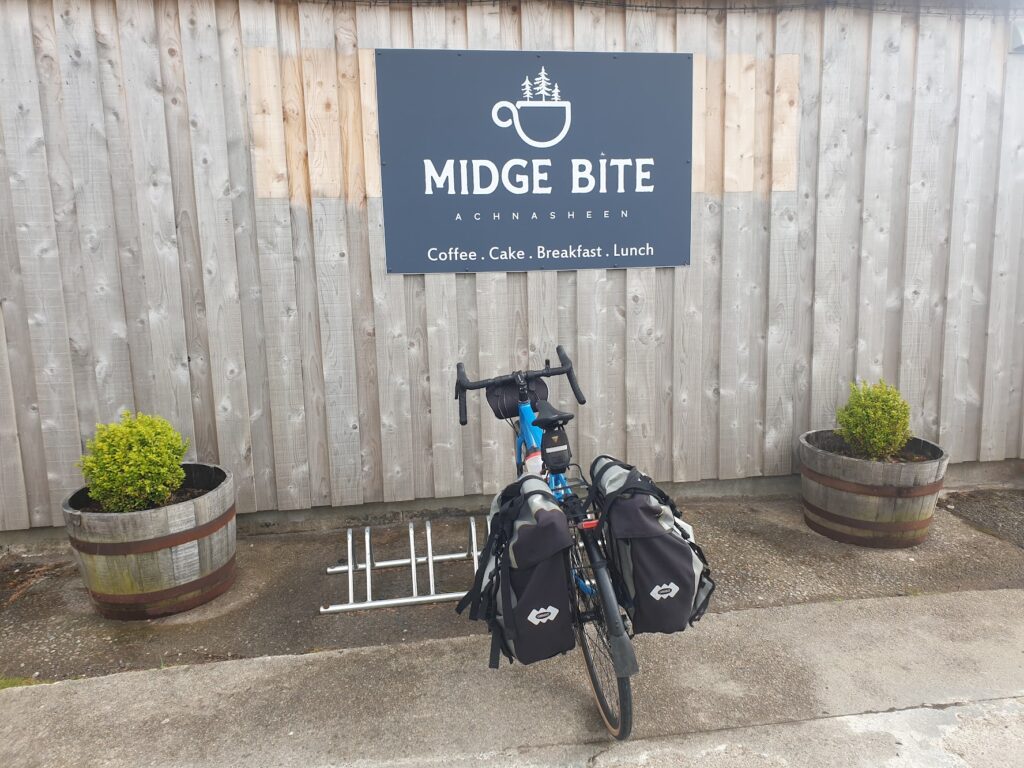
From here all the way to my final destination just short of Dingwall, I fairly flew along. The wind was once more my friend and the road was broad, empty and smooth. At Achnasheen, another glorified road junction, I just made it to the Midge Bite cafe before it shut and the very nice people there let me sit on their sofa and enjoy my tea and ice cream at my leisure. Then it was on along straight, flat, fast roads that followed the line of the Kyle to Inverness railway, the scenery always attractive without ever quite managing to thrill. I left map 20 and found my airbnb, up the steepest hill of the day, on a croft farm with pigs and a late, new born lamb. My retired host Edna was expecting me and gave me the warmest of welcomes. I put my bike in the barn, showered, and spent the rest of the evening until quite late chatting easily to Edna and her husband Colin about anything and everything, while I drank a very generous dram of Glenmorangie, made in nearby Tain, which will feature in tomorrow’s map. What Edna didn’t teach me tonight, I expect I will learn tomorrow, along with the promise of some “special” Glenmorangie. Breakfast is set for a very civilised 9am. I like this place!
One reply on “Map 19 Gairloch & Ullapool, Loch Maree & Map 20 Beinn Dearg”
Sounds like another great day in the saddle, nice to see photos in the blog too.