From time to time in this adventure, the opportunity arises to visit somewhere truly different. Today was one of those days. Map 107 contains an extremity so extreme that it has to be put in its own box. Spurn Point is a narrow spit of land that hooks around from the northern entrance of the Humber Estuary like a hockey stick. It can only be accessed by land (some of the time) from Holderness, the flat expanse of farming country that lies between Hull and the North Sea. By rights, it should be (and is) in Map 113, Grimsby and Cleethorpes, which I shall visit in a couple of days. But from there, all you can do is gaze over the Humber Estuary at the lighthouse, 6 miles away, across either the water or mud, depending on the tide. If I was to visit, it had to be now.
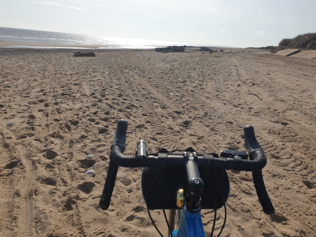
I wasn’t going to miss out on this, so after a particularly satisfying breakfast, I took my bike all the way to the tip of Spurn Point. I would like to say that I cycled all the way; but that would be a lie. You can’t. Not any more. The long spit of sand that makes up Spurn was breached by the sea near where it joins the mainland about 10 years ago, forming Yorkshire’s first island when the tide is high enough. The owners, Yorkshire Wildlife Trust, decided it would be much easier to work with nature than against it. So now, tides permitting, you have to walk along the beach for about 15 minutes before you can get back on your bike to cycle along what remains of the concrete road to Spurn Point, with its lighthouse and lifeboat station.
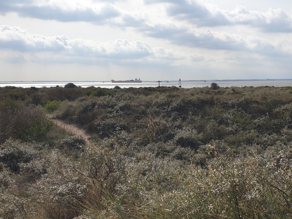
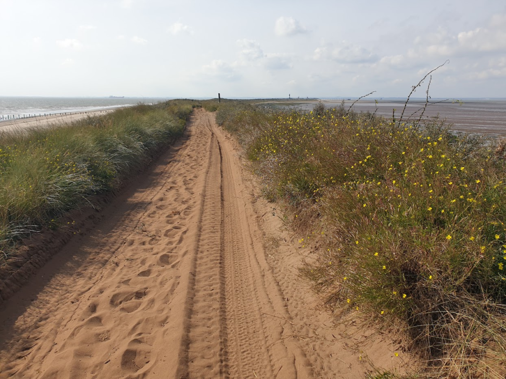
There really isn’t anywhere else in Britain quite like it. The sands are constantly shifting and the three-mile long spit changes shape with the movement of the tides. In places there doesn’t seem to be much more than the width of the road separating the vastness of the Humber estuary on one side of you from the North Sea on the other. Further down, the land bulges so that at its tip it takes a few minutes to walk around, and there is room for a small collection of buildings. This place was heavily defended in the two world wars, guarding the entrance to the Humber. There is still much evidence of that military presence, with gun emplacements and search lights, once standing on exposed sand, now being taken over by the scrub. Even today, something like a fifth of all UK trade passes in and out of these waters and needs escorting by Humber pilots on its way to the ports of Hull, Grimsby, Immingham and Goole. There is a permanent RNLI station, with the lifeboat on standby at the end of Spurn pier.
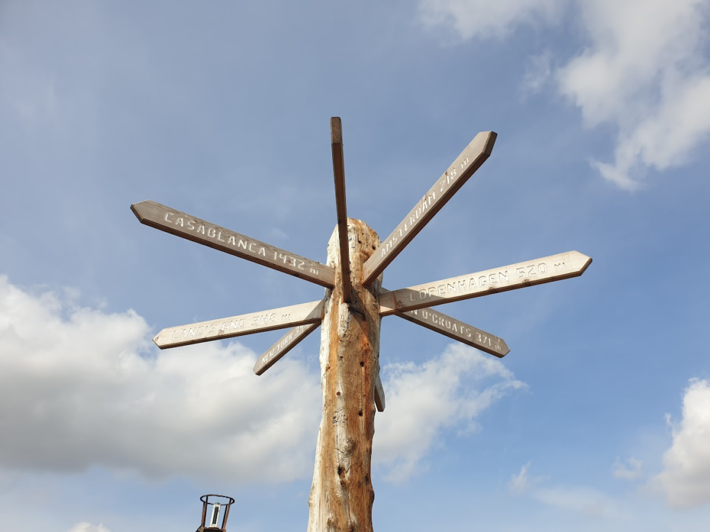
Once away from the breach – where the cars have to park and the bird hides and visitor centre, with its cafe, swallow up many of the visitors – you more or less have the entire spit of land to yourself. It is a windy place, so you can’t call it quiet. Today the noise was enhanced by two fighter jets performing manoeuvres overhead. But that apart, I felt utterly alone and removed from the rest of the world. A glance at a map will help to explain why this might be. You are. Spurn really does take some reaching. It isn’t on the way to anywhere at all. But to those willing to go the extra mile, it rewards you with a unique, almost other-worldly experience.
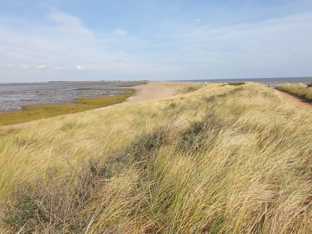
I have been to the end of Spurn only once before in my life, and that was more than 40 years ago. I remember my dad driving there from home, near Doncaster, when my grandparents came to stay. There would have been 8 of us, so it would have required two cars to make the long, flat, featureless trip to Hull and then something like 25 miles beyond, and back again. Even today it is a long journey. Then it would have been hours. I don’t know what they were thinking. It was a strange day out to a strange place. In those days you could drive right to the end of the spit. I can’t imagine doing that now. Some of what we must have driven through doesn’t even exist as land today. The road just crumbles away. I think the breach may have been the best thing to happen to Spurn. It keeps it out of reach to all but the most intrepid visitor even in today’s modern world. We need places like that.
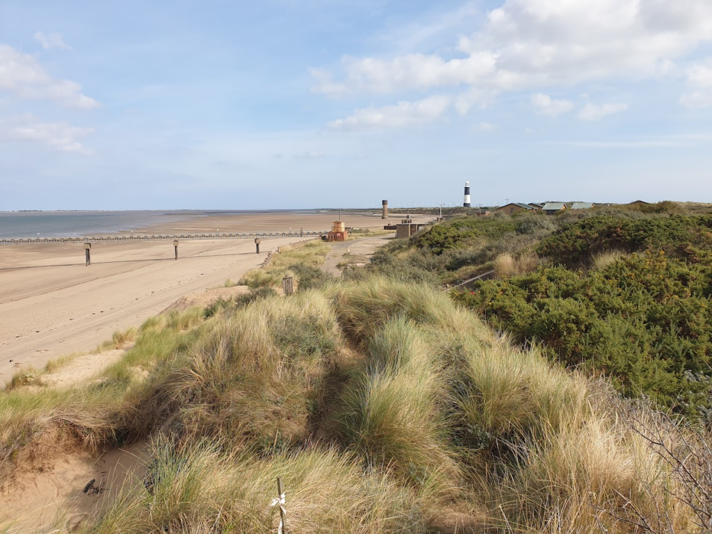
On my way home, I had to cycle to Hull to catch a train. I want to like Hull. It is one of Yorkshire’s main cities and there are things here to make a visit really worth the effort. But as a city, it struggles economically, and it lies away from passing traffic to give it a boost. Its boom days as a fishing port went in the 1970s and now it is all too evident that times are hard for many of its residents. That said, the Old Town is full of interest and great architecture, including Hull Minster and England’s smallest window, in the George Hotel.
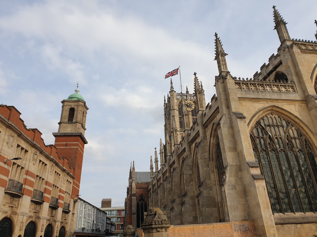
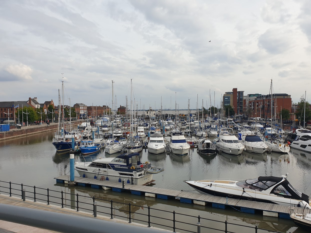
The adjacent city centre has recently been given a cool new pedestrian and bicycle link over the dual carriageway that previously cut Hull off from its waterfront. It feels like a step forward. There is a big marina and some cool urban development in the former warehouses, alongside a showpiece aquarium called “The Deep”. I wish I had longer to spend in Hull (I had to catch a train) and I will return. To my shame, having grown up so close, it took me until last year to see it for the first time. I stopped there for refreshment when I did my longest ever day bike ride, 208 miles, following the flow of water from my village, Hathersage, via the rivers Derwent, Trent and Humber out to the Spurn breach, and on up the coast. I liked it enough then to come back the next day. You might almost say I am becoming a regular!

One reply on “Map 107 – Spurn Point”
Until very recently Spurn Head was permanently inhabited by a few families staffing the lifeboats. That made it one of Britain’s most isolated communities. It’s a remarkable place!