The magic spinner landed on west, so west I must go. Which was a stroke of luck, because Sunday was not only a beautiful, sunny day; but also provided a rare easterly wind that I could use to propel me towards Chester from Hathersage. An opportunity not to miss!
It is a journey of about 75 miles and the majority of the nastier hills occur in the first third of the ride, before the land drops away westward from the Peak District onto the flatter Cheshire Plain, which stretches all the way to the River Dee and the Welsh border. Here rise the Clwydian hills, which are easily visible on the horizon from Derbyshire on a clear day like this one.
For much of the way, it was possible to maintain a wobbly horizontal line, staying within a kilometre or three of the straight, blue line on the OS map where my house lies. But nearer to Chester it all gets very complicated. My parallel crashes directly into first the Mersey estuary, and then the Dee estuary, either side of the Wirral peninsula. It is impossible to travel in a continuous line here without dipping significantly to the south – and that is what made the historic city of Chester (which is not technically on my line at all) an obvious overnight choice. Indeed, without resorting to unpleasant dual carriageways past smelly oil refineries, it was pretty much unavoidable.
Since that could not be helped, it was an obvious opportunity to pause not for one night; but two, and meet Jenni for one of our now customary days of exploration in a new place. We had both been to Chester before; but not for ages and not properly. So that’s what we did. And, I have to say, it was an excellent choice. But first I had to get there.
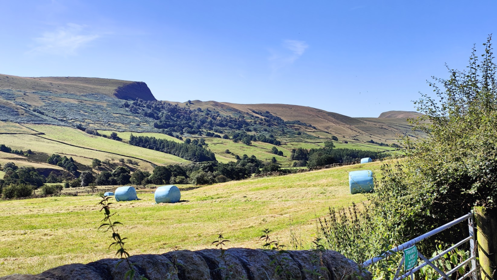
Upon leaving home in Hathersage, the most obvious and direct way to get up and over the first big hill, Mam Tor, at the western end of the Hope Valley, would be to cycle up the Winnats Pass. This is a spectacular small road that climbs very steeply up through a deep, dry limestone valley just beyond the tourist trap of Castleton. It substitutes for the old A625 main road up the side of Mam Tor, the “Shivering Mountain”, which was shaken into submission and closed to traffic for good in 1979. Major works were previously required to repair landslip damage in 1912, 1933, 1946, 1952 and 1966. The alternative Winnats Pass is a lovely little road; but it takes far too much traffic to make cycling up it a pleasure – or particularly safe – at any time. On a sunny Sunday in August, I wouldn’t want to go anywhere near it. Social media has attracted people from far and wide and you see them driving up and down with their phones held out of the car window. It’s way too popular and no longer a safe cycling option. However, there is a better option available called Mam Nick, which climbs up from the beautiful valley of Edale, to the north of Mam Tor. This challenging road is longer, windier, a little less brutal and much, much quieter. It also has breathtaking views of the surrounding hills and the valley beneath. It was a no brainer.
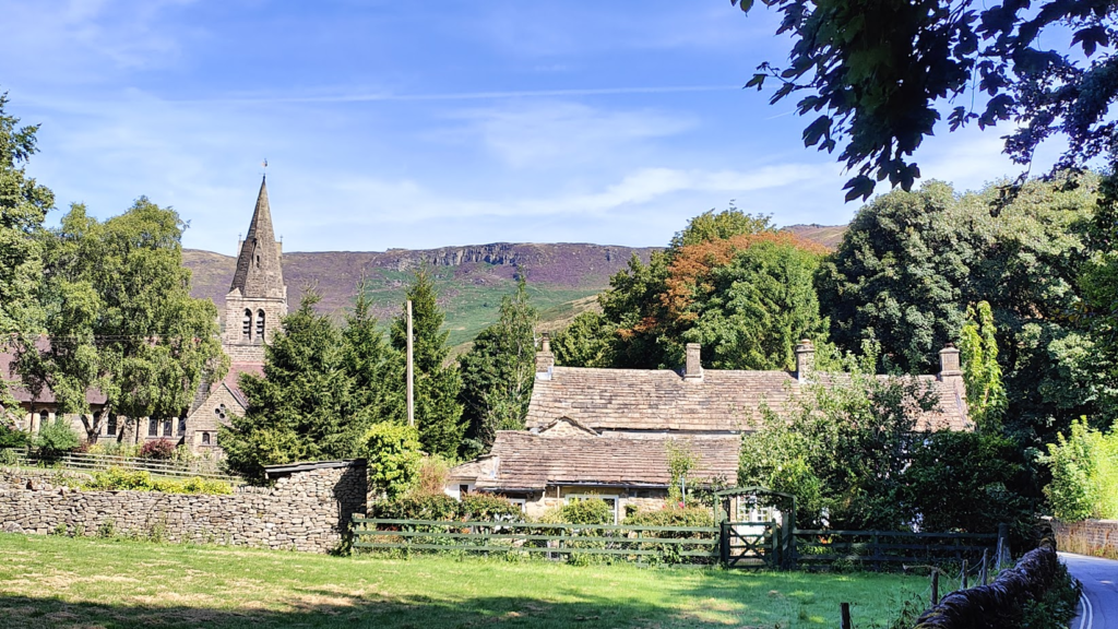
It is a lovely ride all the way up beautiful Edale valley from Hope, between Lose Hill on the south side and the Kinder Scout plateau on the north. After 9 miles of gentle riding, I reached pretty Edale village, at the foot of Derbyshire’s highest and most rugged hills, and the start of the Pennine Way long distance footpath. This gruelling walk heads off 268 miles along the spine of northern England to Kirk Yetholm, just over the Scottish border, across some of England’s least hospitable country. It is not for the faint hearted. And nor is the bicycle ascent of Mam Nick that now reared above me. It doesn’t hold the fear it once did; but I still treat it with full respect, whether grinding my way up or flying down from the top. It is a proper mountain pass and not to be underestimated. But today it was most definitely to be enjoyed as well, and I even allowed myself a couple of photo stops, for journalistic purposes. Everywhere was looking quite stunning today. It must have looked even better to the paragliders above me. This is one of their regular haunts, and you often see the sky here full of dozens of brightly coloured parachutes.
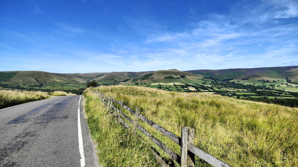
You emerge from the climb near the top of Mam Tor, a very popular hill (not least, I’m sure, because you can drive so far up it) and enter an upland basin that is quite geologically odd. The area to the south is mostly limestone, and for a few miles heading west I remained at the same height, following the ridge of Rushop Edge to the north, and looking down to my left into pasture from which no streams appear to flow in any direction. Behind me all the streams in the Hope Valley were flowing east to the North Sea, and ahead I would soon meet the tributaries of the Mersey, flowing to the Irish Sea. But here, high up in this basin divide, for a few miles you can’t tell. Limestone is porous and the water disappears underground into pot holes and subterranean streams; but whether they go east or west is uncertain.
Either way, they – and I – remained in Derbyshire for at least a little longer. I descended several enjoyable miles into the small town of Chapel-en-le-Frith, “Gateway to the Peak”, where I encountered a small peloton of younger, serious looking cyclists on expensive bikes, going my way. A few went past, and I’m confident they were expecting to leave me behind; but I’m fitter than usual and I decided to have some fun. After a little while, I swept past the front riders and performed a little solo breakaway on my touring bike, with its thick tyres, rack and mudguards. At my age. Just because I could. It happens periodically and today there were large numbers of cyclists on the roads of Derbyshire and Cheshire, so it was perhaps inevitable. It’s a red rag to a bull when I am passed by someone who has tried this hard to look the part. All a bit childish; but it amuses me!
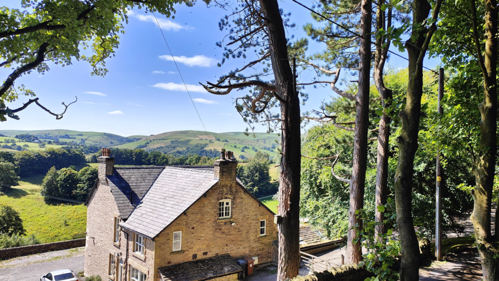
The other advantage I had, was the knowledge I would be stopping soon at a cafe in Whaley Bridge. This is a pleasant canal-side town and it was about time. I sat outside in the shade (a sign of how warm it was) and enjoyed the breakfast burrito I was served and the general comings and goings. A woman of advancing years walked right past me, with a stupid little dog on a lead, and I recognised her as Edwina Currie, former Conservative minister and famous for having an affair with Prime Minister of the day, John Major. I also knew that she lives here. In case of any lingering doubt, she returned ten minutes later. I bade her good afternoon; but I didn’t mean it. This is the woman who almost single-handedly caused the collapse of the British egg industry by spreading widespread public alarm about the possible risk of salmonella poisoning. Amongst other things. Nowadays, she gives some of her free time to being president of a local male voice choir.
Whaley Bridge made the news recently for a more serious reason. On the afternoon of 1st August 2019, about 1,500 people were instructed to leave their homes immediately and find alternative accommodation. Heavy rain had caused a large section of the spillway at nearby Toddbrook Reservoir to fall away and there were fears the whole structure could collapse, leading to a huge flood with the potential to wipe out much of the town. The residents were not allowed back home for a week. During that time, emergency crews worked relentlessly to pump huge amounts of water from the reservoir, while an RAF helicopter dropped sandbags and aggregate into the compromised spillway to reinforce it. A year on, the Canal and River Trust declared the dam “secure against any extreme weather event”, with permanent repairs planned. Disaster averted!

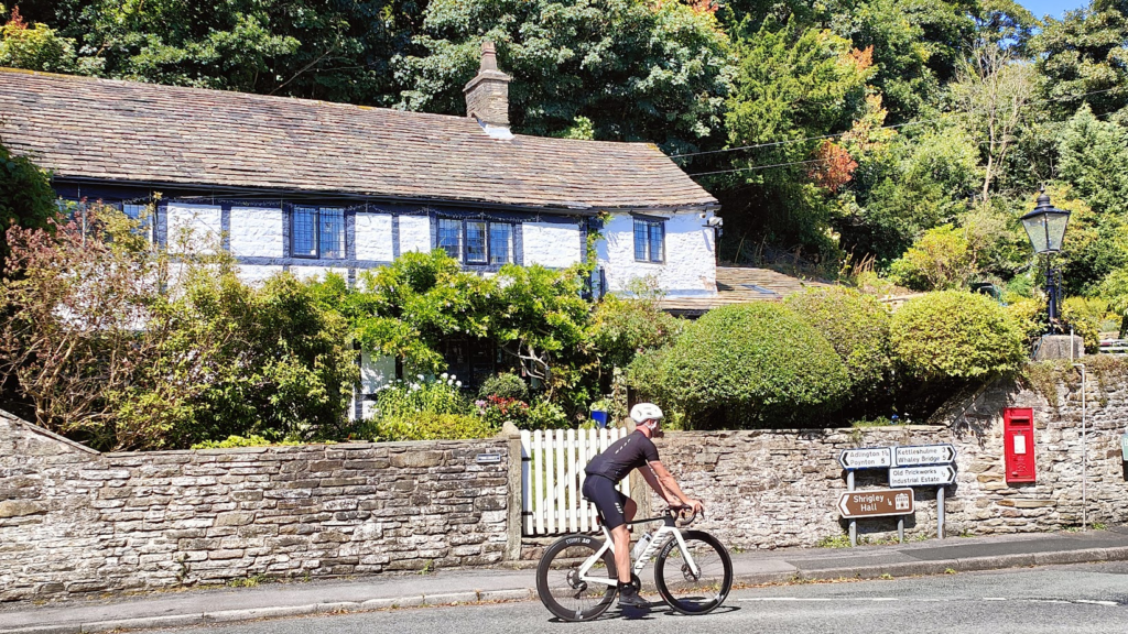
I found a rather interesting and sneaky back way out of Whaley Bridge that had signs warning motor traffic away. It involved some narrow and steep cobbled sections and helped me avoid a steep and busy section of the main road to Macclesfield, delivering me in peace and quiet to the village of Kettleshulme, where people were enjoying the weather outside a fancy pub. From here, I followed my old, but reliable, back route to Manchester Airport, along a lane to the wonderfully named Pott Shrigley, where there is a road junction right by the impressive church and some quaint old cottages that used to feature on the cover of the local OS Landranger map. Along the way, you crest a rise and get your first view down off the hills and out across the green plains of Cheshire to North Wales. It is quite a dramatic prospect, and a different world.
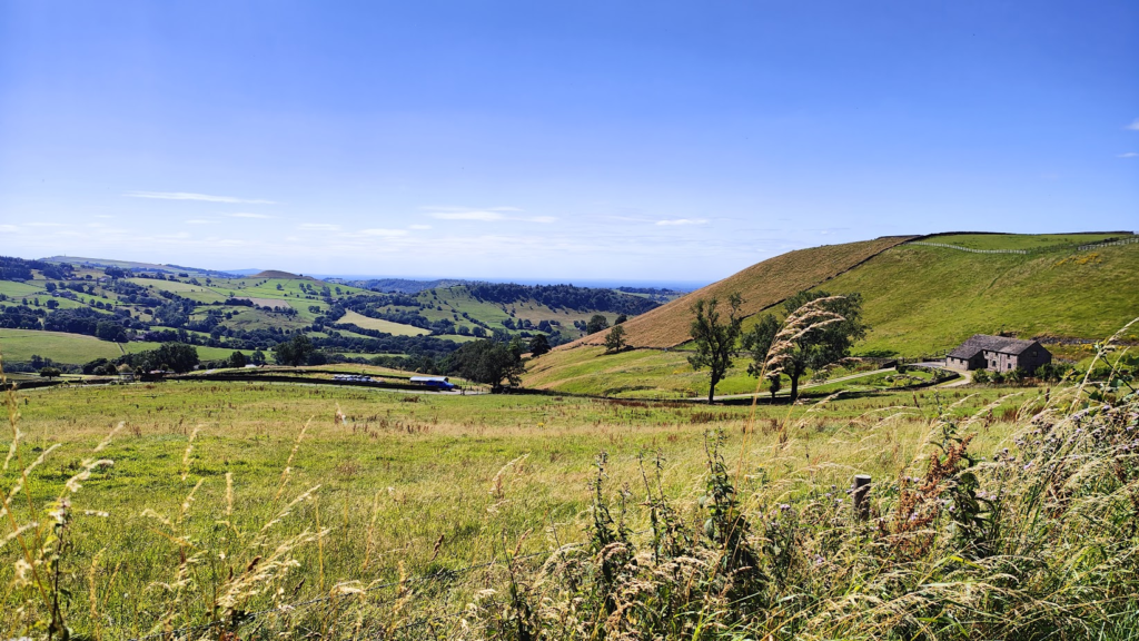
Slipping off the hills and into flatter riding, I arrived in busy Wilmslow, today’s biggest town, which is home to many of the rich and famous footballers of Manchester, among other people of means. It is nice enough, unremarkable in general appearance; but remarkable in that the high street has an Aston Martin dealer and a Rolex shop, as well as many upmarket looking eateries and interior design stores. Cheshire as a whole is pretty well to do, and from Wilmslow onwards, through many miles of countryside and villages, I didn’t see much that wasn’t obviously affluent.

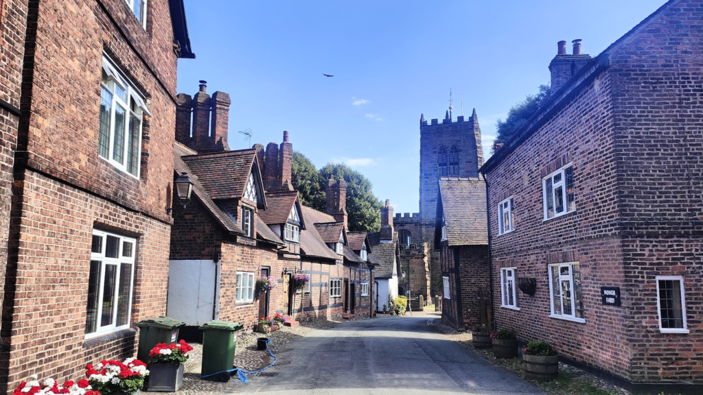
I was following the Cheshire Ring cycle route from here onwards, until not far short of Chester, and it took me along quiet lanes avoiding Manchester Airport that were a pleasure to ride. Plenty of other people clearly felt the same on this lovely afternoon. I happened upon a well placed tea room in someone’s garden and stopped for a cream tea. It just felt right. There weren’t many places of substance; but one of the bigger villages, Great Budworth, turned out to be a real gem. It was almost uniformly made up of half-timbered and brick-built period cottages, next to a large parish church with a tower, across the road from a most appealing and popular brick pub. The only thing spoiling the atmosphere was the long line of parked cars down one side of an otherwise unspoiled street. Apparently the place has been used as a film and TV set. And I had never heard of it before. That’s one of the joys of cycling. It can surprise you in wonderful ways. And – just to prove the point – it was about now that seven small planes buzzed overhead in v-formation.
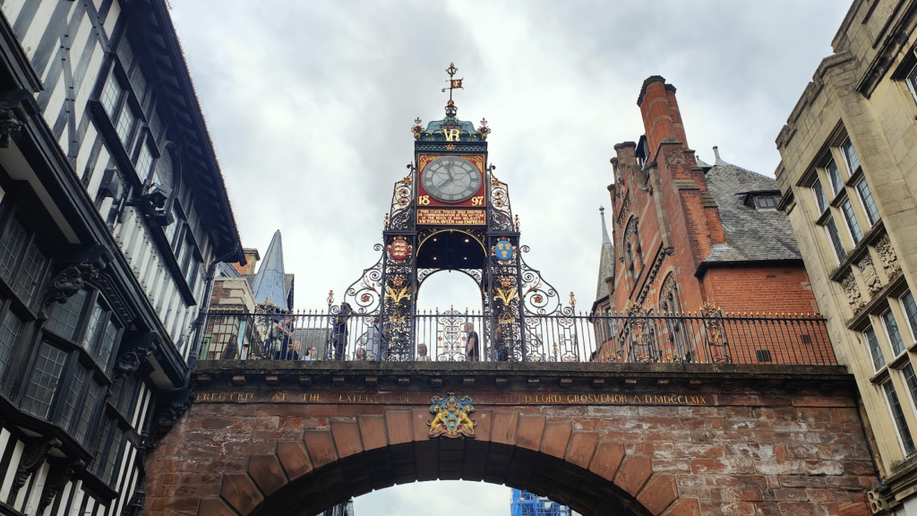
The final part of the ride to Chester took me in a straight line through several miles of Delamere Forest. It was all very attractive without compelling me to stop and take photographs. I had done much of that earlier in the day. Now, my main aim was to reach my destination – and Jenni – which I did in time for a shower and dinner without being bothered by a main road or traffic. All in all a very good day’s cycling across a very pleasant part of England. Tomorrow I would enjoy a sunny day off with Jenni, seeing the historic sights of the walled Roman city of Chester, before heading on into North Wales along the coast to regain my line west.

One reply on “Cardinal Spins 8: West – Day 1”
Ha, I’d never heard of Great Budworth either! Yes, exactly – it’s these sort of discoveries that often characterise the joy of cycling ‘in the gaps’ around Britain.