My days in this adventure kept getting bigger. I would get a day off in Edinburgh at my brother’s house (unless you count helping to build a garden shed); but I had to earn it today. In typical fashion I failed to make an early start and was playing catch up all day long.
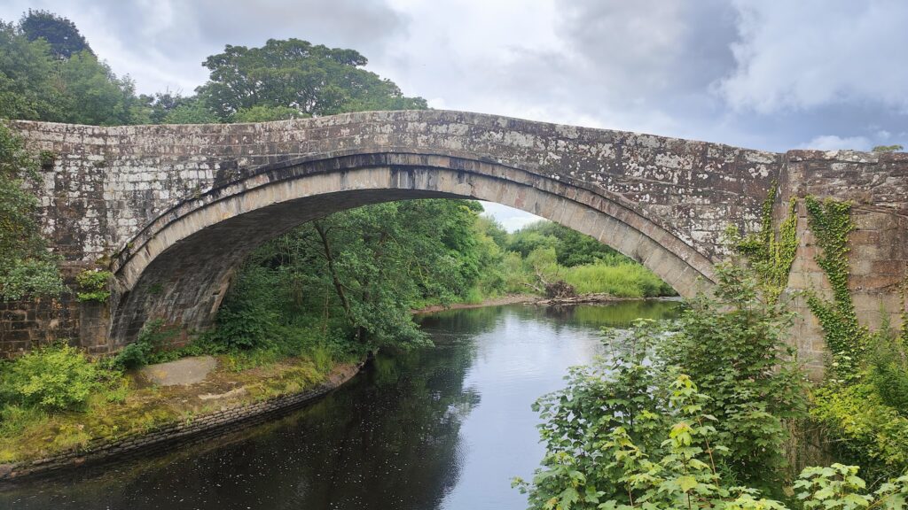
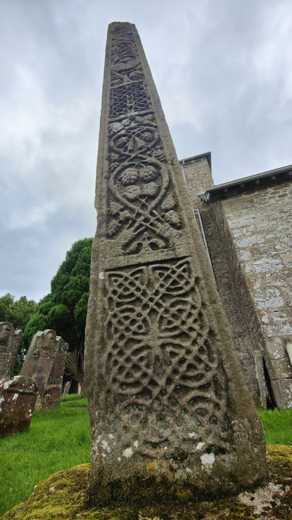
It was another cool, overcast day; but again it stayed dry. As long as I was moving, I was warm enough except when I had occasionally to ride into the breeze from the west. Then it got chilly. But mostly it was comfortable cycling conditions and, after my sluggish start, I made good time. A couple of miles after leaving the excellent Howard Arms in Brampton (whose food was exceptional, breakfast included) I crossed the line of Hadrian’s Wall near the partly ruined and ancient loooking Lanercost Priory. What lay beyond, for the next twenty miles, was some of the most remote feeling country I have crossed in England. I saw almost no one and passed through just one tiny hamlet, called Bewcastle. This was once a Roman fort and outpost in an area known as the debatable lands, because they changed hands regularly between the Scottish and the English. Bewcastle has the ruins of a Norman castle in a field behind its stone church. In the churchyard was a very tall 7th century Saxon cross, carved with images on all four sides. An information board said it is considered one of the twelve most important monuments in Britain, although it didn’t say by whom, or what the others might be.
The road I took north from here towards Scottish border was perhaps the smallest surfaced road I have ever seen. Not only that, but it crossed two substantial fords and went through three gates that each needed to be opened and closed again. It was all great fun; but also slow going. I saw no one else on the road. By the time I dropped around hairpin bends to reach the Scottish border, with the sun making a rare appearance, it was afternoon and I knew I should have got up earlier. But I also knew I had to stop and take on fuel in Newcastleton, which lay just over the border in Liddesdale. This is a planned village and I knew from previous visits that it has the only services for miles around. So I stopped at my usual cafe for soup and a panini. And a cake. And though I knew to expect it, I still found it weird that suddenly, on this side of a river crossing after just a few miles of cycling, everyone spoke with a Scottish accent, as if someone had flicked a switch.
The next more than twenty miles took me back into the wilds and up into the hills. I was roughly following the route taken by the long defunct borders railway, a victim of the Beeching cuts in the 1960s. In the middle of nowhere after quite a climb, I was surprised to be confronted with a collection of rusting trains and wagons on a short preserved stretch of track. It felt like some eccentric was fighting a lone battle to save these decaying old trains from dying altogether. It was the last thing I expected to see and I can’t imagine who would ever come here.
Some miles later, I descended to the substantial Borders town of Hawick, arranged on the banks of the River Teviot. This was a major centre for textile manufacturing, knitting and weaving, especially cashmere and tweed, and there is still much evidence of past industry and regional importance I got a sense of urban renewal in some parts of town and urban decay in others. Most importantly, I found refreshment in the cafe bar of a rather swish looking modern arts centre in a repurposed old building that included a theatre and cinema. After that, as I knew would happen, my route took me away from sustenance along more of the quietest rural lanes through gently undulating country and just the occasional deserted village until I dropped down to the banks of the broad and fair River Tweed.
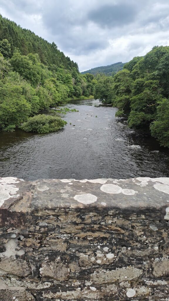
For the next hour I followed the banks of the Tweed in the flattest section of today’s route. It was a constant companion all the way to Innerleithen, a small borders town that has reinvented itself as a mountain biking Mecca, with nearby trails of varying difficulty in the hills and forests around town. All the cool cafes were closed by now; but the Borders Takeaway came to my rescue with a portion of chips that I knew would be just enough to get me the last two hours to Edinburgh. But that would involve plenty more climbing.
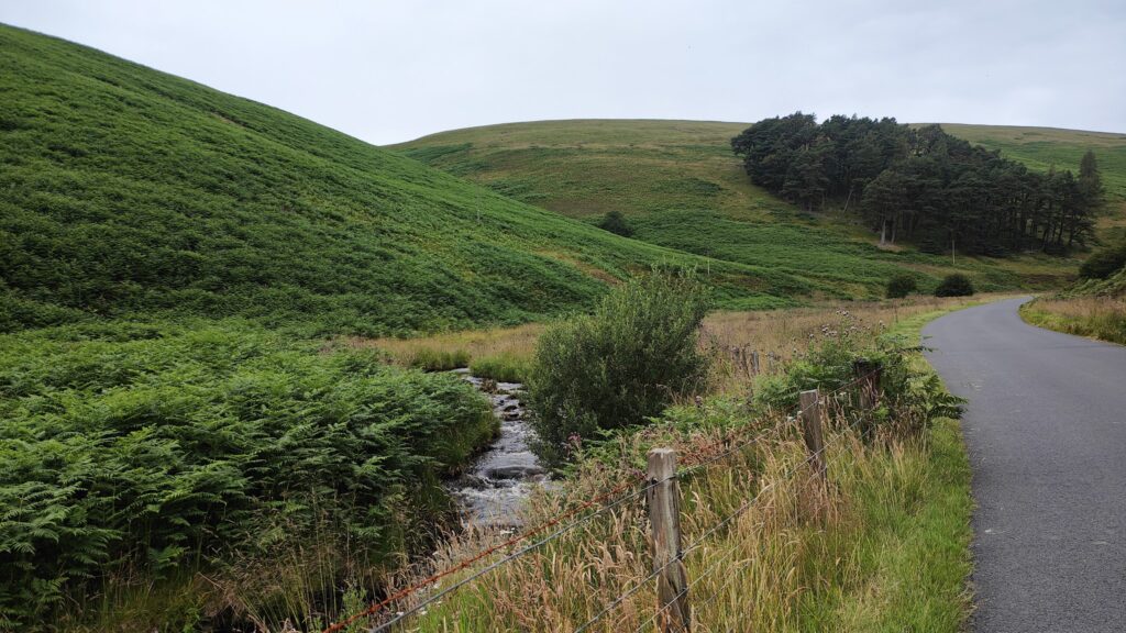
There is a small and beautiful mountain road that leads out of Innerleithen, through the golf course, and into a long, winding valley, hugging the banks of a mountain stream. It is locally known as The Granites, although it isn’t especially rocky country. It’s more reminiscent of my home in the Derbyshire Peak District, and it goes on for miles. The gradient is never steep, and it is perfect for cycling.
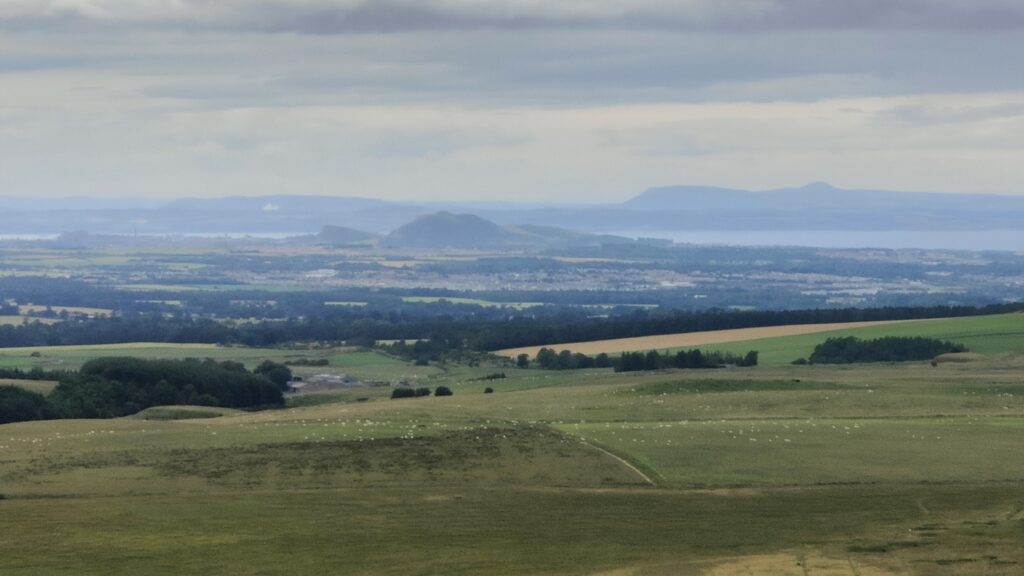
When eventually I crested a dip between the hills, I was presented with a glorious long, straight downhill for miles on the other side, which then split into two valleys. My road followed the one to the left, slowly climbing once again until it topped out at a point where suddenly the whole of Lothian was visible beneath me, with the distinctive shapes of Arthur’s Seat marking out Edinburgh in the far distance. It was pretty stunning. You could see right across the Firth of Forth to Fife and even out to sea. And the only way from here was down. Seriously down!
The rest of the ride, after the big descent, quickly became a succession of Edinburgh satellite towns and suburbs, which seemed to take ages and presented the worst road surfaces of the day by far. But the weather brightened up and I was done before nine under blue summer skies, the best of my long day.
