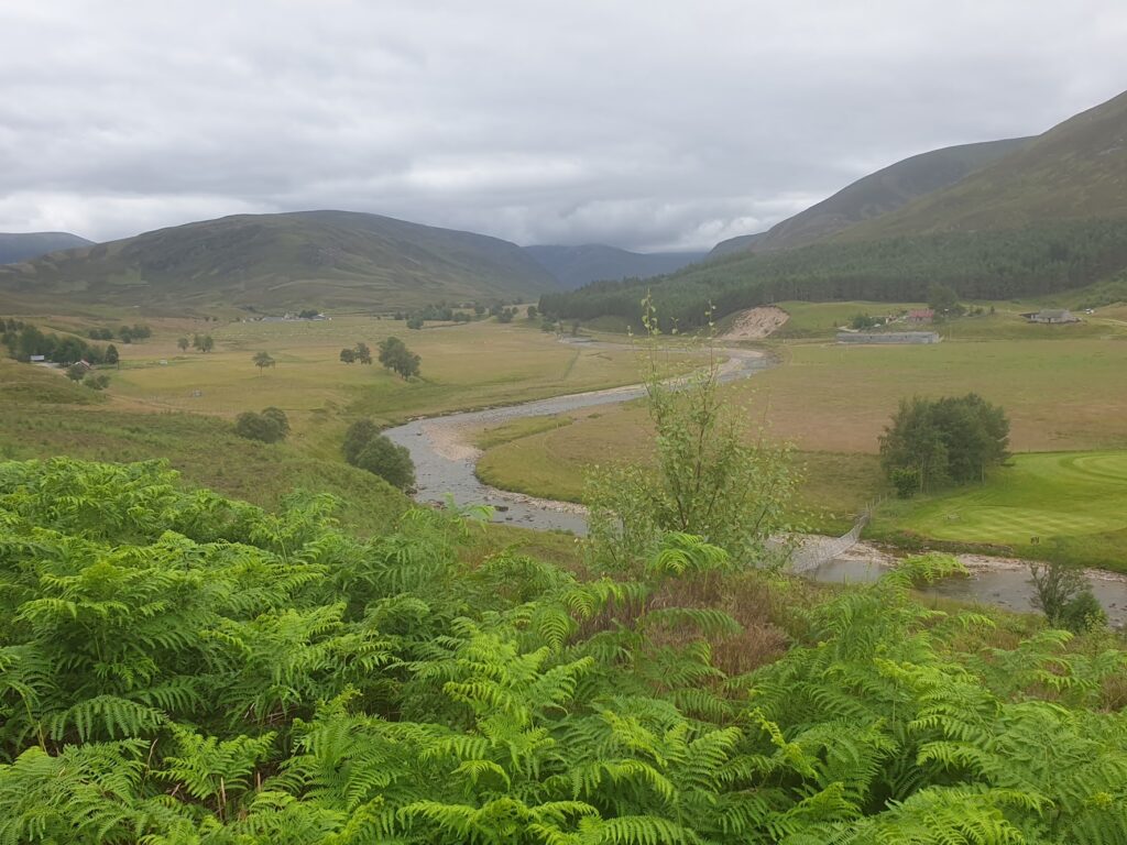
It seems ages ago that I left Kirkton of Glenisla and made my way home for a very busy week of pre-arranged commitments and a couple of extra days of extreme heat avoidance; but here we go again! It took me all of yesterday afternoon to reach Edinburgh, where I spent the night, and then another couple of hours to get up to Perth, the most convenient rail head for rejoining OS map 43. I took the opportunity to grab an outdoor lunch from an Italian bakery in Perth, which seems like an an altogether attractive and pedestrian-friendly small city. Then I crossed the broad River Tay and headed north either close to, or mostly on the A93, which leads all the way over the eastern Cairngorm mountains to the village of Braemar, my destination for the day, 50 miles away.
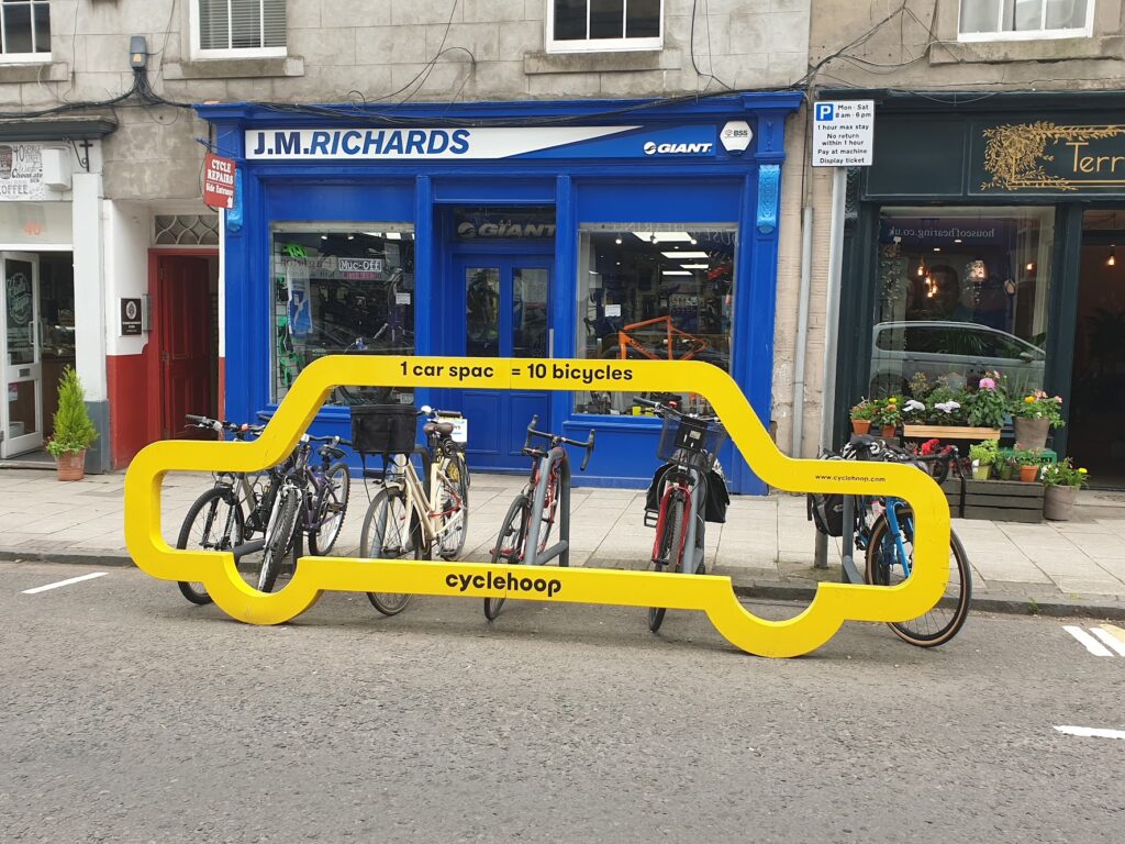
For a major route, the A93 was mercifully quiet. It really only passed through one other settlement in my entire journey, the small and pleasant town of Blairgowrie, with its twin of Rattray directly across the bridge. I stopped there for afternoon tea and cake, as you do, but moreover because after that I had 35 miles of mostly climbing. The road winds its way through empty country over the top of the highest public road in Britain, the Cairnwell Pass, at Glenshee ski area, which reaches 2,198 feet (670m) above sea level. The descent from there to Braemar is only about 1,000 feet, because Braemar lies at over 1,000 feet of elevation itself. Perth, by contrast stands at only 33 feet above sea level. There was work to do.
It was a great ride through increasingly mountainous terrain in good weather. Neither the gentle breeze nor the temperature were a hindrance to me and, for once, I spent all day in my shirt sleeves. There was almost constant, high white cloud cover, making the world a less shiny place today. I realised before I reached the highest section that I needed to switch back from dark to yellow lenses in my sunglasses. Almost instantly the world was a better place! I did briefly think about experimenting with one of each type of lens, but saw sense before anyone saw me.
Maybe I underestimate my own fitness; but I thought it would all feel a lot tougher than it did. It never got steeper than 1 in 8, and it didn’t feel too different to crossing the north Pennines or the Snake Pass. Fewer signs of habitation, perhaps. The heather-clad mountains rose on either side without any walls or fences, or even much in the way of rocky features, except for Dalmatian-like patches of scree. They lacked any dramatic shapes: no obvious pinnacles or buttresses like in other parts of Scotland. And no coastline either, obviously. This gave it all a deceptively gentle and hilly feeling, without the drama of more irregular, rocky mountains and lochs elsewhere. In fact, this road is one of the only ways across a huge, high inland plateau that contains some of the highest peaks in these islands. A lot of the really big stuff was hidden away, far from this lonely, mostly empty ribbon of tarmac. You have to work extra hard to get close to them.
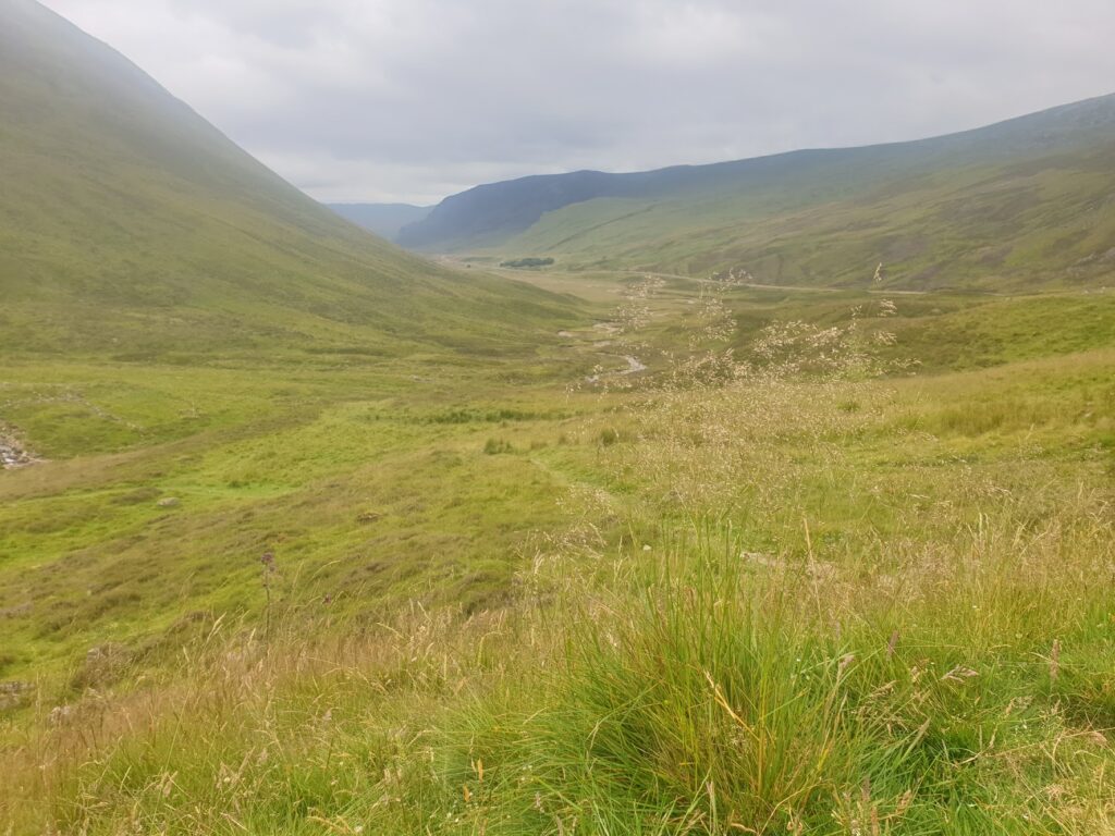
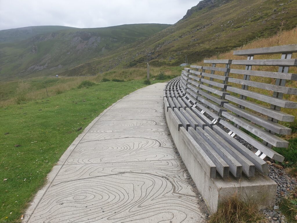
I had imagined the road would also be more demanding. It used to be known as the Devil’s Elbow and apparently buses would let their passengers out to walk for a couple of miles at the highest point because of these two famous hairpins. But in more recent times, the road has clearly been improved and rerouted, so there were was nothing hair-raising to report. I wasn’t disappointed; but it wasn’t quite what I expected. On the approach to the long final climb I stopped in a lay-by where there was a small noticeboard and a curvy seat made to suggest contours. It was an excellent place for a fudge boost (thanks Bridget) before the final push. While I was paused, another lone cyclist, a fit looking American female as it turned out, came past heading uphill. As she got close to where I was, I waved. Her only response was ”Oh, I thought you were Andy.” I never saw Andy and she didn’t stop. I felt I had let her down just for being me.
After the strange collection of ski related buildings, mostly closed in the summer months, you cross into Aberdeenshire (“From mountains to sea, the best of Scotland”, which, while not a lie exactly, is certainly debatable). And then it is a long downhill ride for several enjoyable miles along the banks of the wide, shallow, rocky River Clunie, until the first signs of Braemar appear in the form of its golf course (the highest in Scotland, according to the lady in the pub later on).
Braemar itself nestles prettily at the junction of two valleys, where the River Clunie joins forces with the River Dee, my companion for tomorrow’s ride to the coast along Royal Deeside. Balmoral Castle is only a few miles downstream from here and it is the Queen’s favoured residence for the summer. Braemar, aside from its royal connections, is also known for its annual Highland Games, which is one of the biggest around. The village is a collection of attractive buildings dominated in the centre by the enormous and stately Fife Arms Hotel. It’s public bars are full of portraits of historical highland figures in kilts, or dressed for hunting in the hills. The walls are adorned with many pairs of antlers and in the Flying Stag pub is a stuffed, full size red deer stag, with added wings, leaping right over the bar. Quite a sight even before a few beers. I sampled the village brewery’s Oat Stout and its 80 Shilling. You really couldn’t get more local. I wonder what the Queen thinks of it.
2 replies on “Map 43 again”
Please tell me you took a picture of the flying deer over the bar.
Cycling that route in reverse last year, I had a fabulous encounter with a group (herd?) of about twenty huge deer, who galloped right alongside me for a bizarre minute or so, just a few miles south of Braemar. We looked uneasily at each other as we spend along the little road, before they thought better of trying to pace me, and leapt over a fence into the woods. I’m sure you had the harder climb …well done for cruising it!