And so to Wales. It took two trains and a morning to get from home to Holyhead, one of the main ferry ports for Dublin, and the start of my 17th crossing of the country. The town is the biggest in the island of Anglesey, although a pedant might point out that Holyhead actually sits on the separate and smaller land mass of Holy Island, reached from Anglesey proper by a causeway. Either way, it is the end of the train line and also Thomas Telford’s road from London (yes, him again). There is a large harbour here and that is what brings most people through the town. Most have no reason to stop, and if they did they would find a rather sad looking town centre. That is also how I remember it from previous visits. They are trying. There is a very fancy metal bridge linking the ferry terminal and station over that train tracks to the shopping street. You can cycle it all the way as it twists back on itself to gain and lose height. But it is about the best thing on offer in Holyhead town. We also found a very nice cafe, to be fair; but otherwise we were glad to get away.
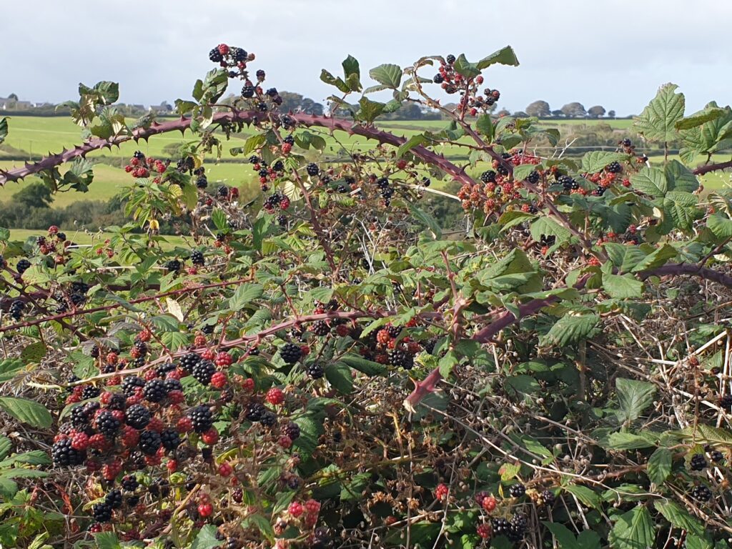
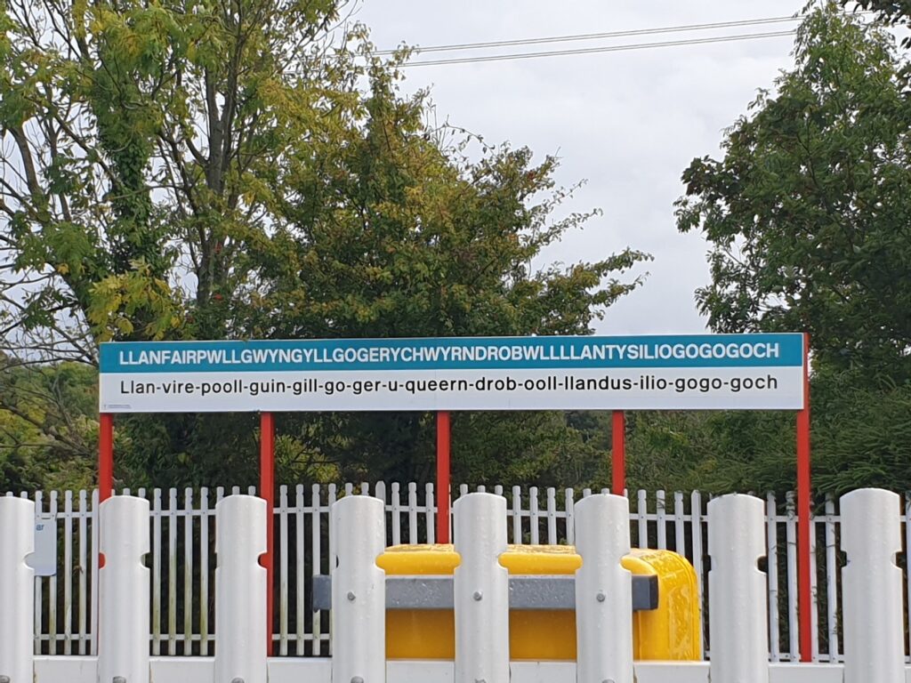
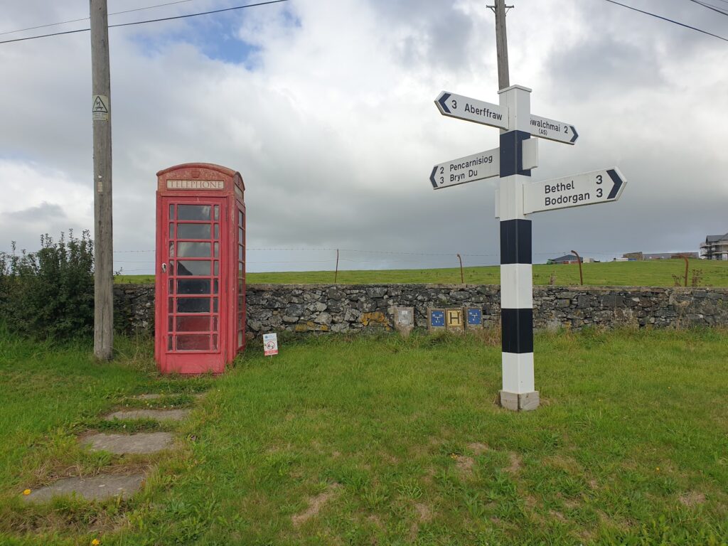
Things improved as we reached the outlying streets and soon got scenic as we made our way along quiet lanes towards the tip of the island near South Stack lighthouse. Here there are cliffs and the impressively rocky Holyhead Mountain rears up behind. But as much as we liked it, a closed road took us right back into Holyhead again before we escaped to the south this time through the small resort of Trearddur Bay. Once off Holy Island, we trusted our fate to National Cycle route 8. It delivered for us with a journey from one side of the island to the other on the tiniest of lanes, showing us the real side of this Welsh speaking island. It was delightful, and we agreed that we have never seen so many ripe blackberries anywhere as we did here. By a significant margin. It was quite a sight. We also barely saw a car in 20 miles until we reached the main road at Llanfairpwllgwyngyllgogerychwyndrobwllllantisiliogogogoch, where we stopped for tea opposite the famous station signboard, which helpfully also offers a pronunciation guide. The name is a relatively modern made up idea; you wont find it in the Domesday book. It translates loosely as ”The station by the shopping village, with the large tea room who don’t allow you to charge anything, across the road from the cafe with no card machine”. Or something very similar.
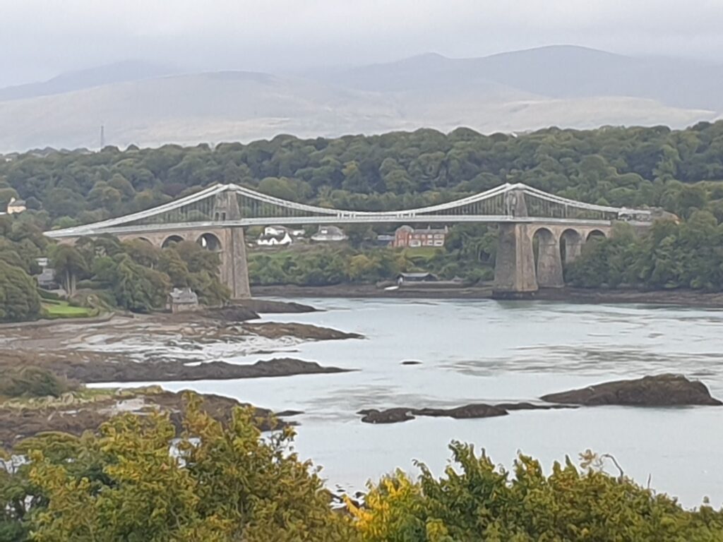
From here, partially resuscitated, we cycled across Telford’s masterpiece, the beautiful Menai Suspension Bridge, that gracefully spans the very beautiful Menai Straits between Anglesey and the North Wales coast near Bangor. When it was opened in 1828 it was the world’s first major suspension bridge. Almost 200 years later it still carries traffic.
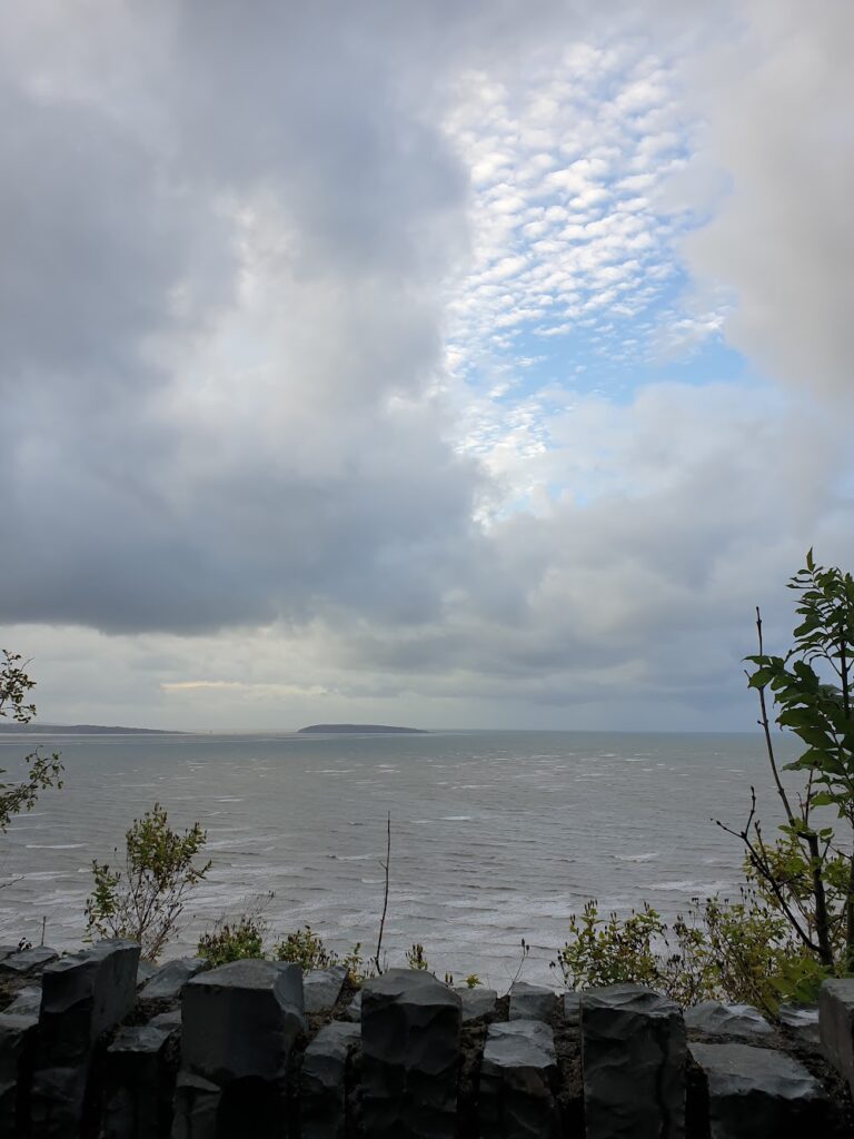
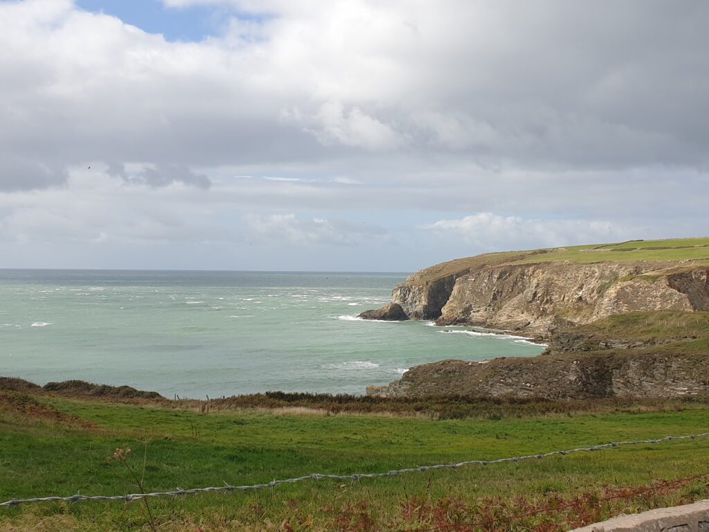
Another lovely relic from a bygone era is Bangor pier, which stretches half way across the strait to Anglesey, sporting many small metalwork gazebos in pairs along its length. It is a lesser known gem and lies well away from the rest of the small university city of Bangor. Following the coast east from here to Conwy, there is only a small strip of land that also accommodates the railway and the main A55 coast road, hard up against the sea on one side, looking out to Anglesey and Puffin Island, and beneath high imposing mountains, where once slate was extracted, on the other. So you have to take your hat off to the designers of National cycle route 5. They have found a way to squeeze in a cycle friendly thoroughfare, retrofitting around natural and man made hazards. Today the wind blew in strongly from the north west, which was good news for us. The tide was out revealing vast tracts of wet sand, beyond which big waves came crashing in, spurred on by the wind. It was an elemental place to be, and I felt very alive.
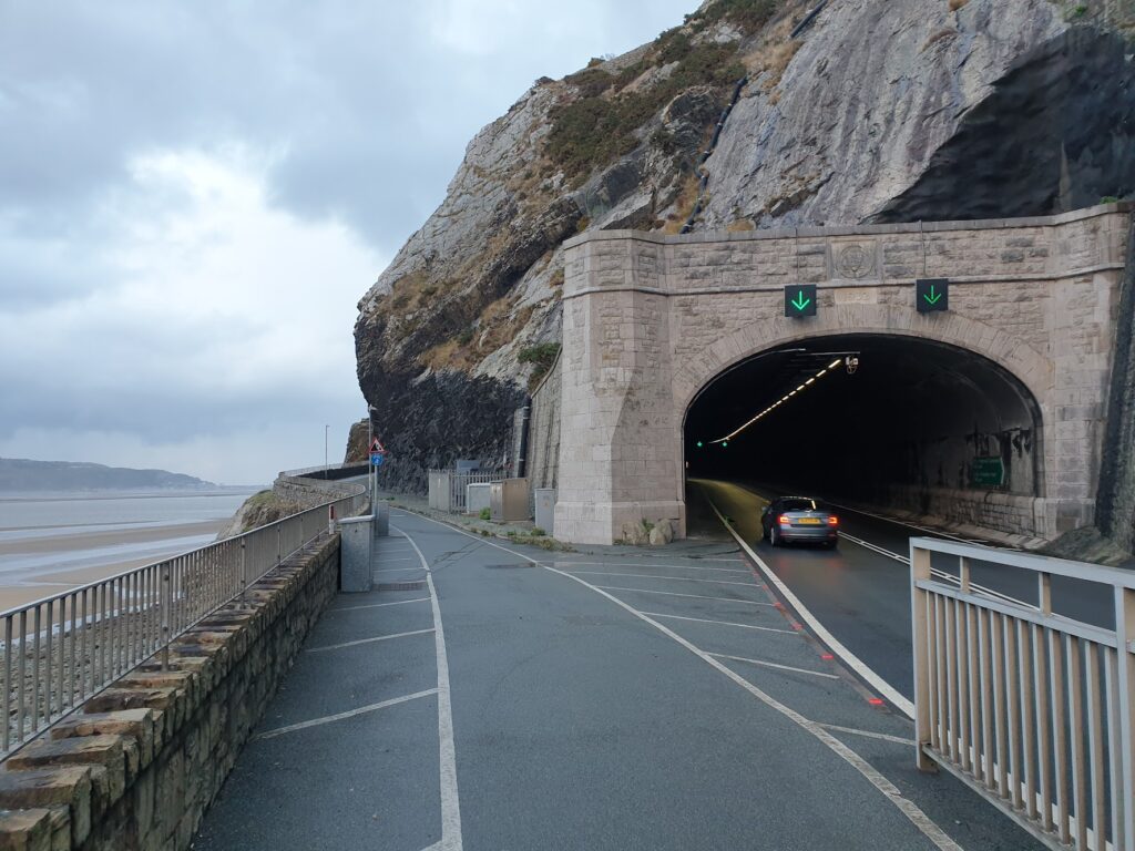
Between the coastal villages of Llanfairfechan and Penmaenmawr are tunnels bored through the headland to carry the road. Now enlarged, they allow swift passage by motor vehicles between Conwy and Bangor. In the old days, my dad – whose parents lived nearby – used to delight in sounding his horn as we passed through. Traffic doesn’t slow down today. Times have moved on.
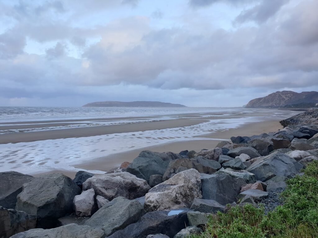
The final part of the ride is also magnificent, as you approach the Conwy Estuary, framed behind by the Great and Little Orme, with the town of Llandudno lying in between. As you round the corner you see sailing boats moored in the water, and you even hear their masts clinking in the wind, one of my very favourite noises.
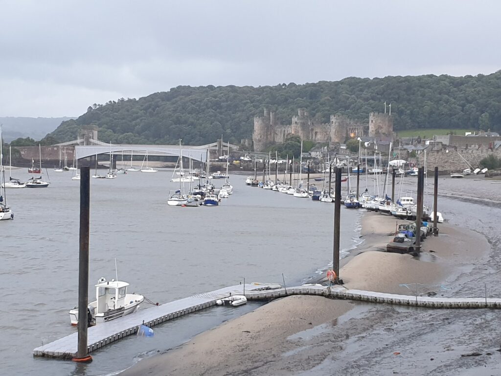
And then as you ride a little further around the water’s edge, there is the sudden thrill of seeing Conwy Castle, surely one of the very best anywhere, alongside the castellated bridges crossing the bay at its narrowest point. Tonight, under ominously dark skies with shafts of brightness here and there, it was a sight to behold.
The skies emptied themselves of heavy rain just as we reached Llandudno, less than a mile from the hotel. We found shelter at a bus stop until it eased enough to move on. We are staying st the Broadway Hotel, which I am sure is the same place we stayed on a school geography trip when I was thirteen. It has gone slightly upmarket since then; but don’t get the wrong idea. Everything is relative, and where school trips are involved, you are starting from a fairly low bar. In any case, we were barely in before we were out again for a lovely meal at the Queen’s Head in nearby Glanwydden village with friends Ann and Steve, who were coincidentally staying close by tonight as well. Small world.
2 replies on “Maps 114 & 115 – Anglesey and the Conwy coast”
After your cycling around the road tunnels, where you get the seafront to yourself and the cars are hidden inside the mountain, I’ll be interested to see what you think of Colwyn Bay tomorrow, where it strikes me that the town is cut off from its promenade by the dual carriageway, to the detriment of both. Perhaps another tunnel might have saved this town? Hope the wind remains behind you!
Yes, I know Colwyn Bay. my grandparents lived in Rhos on Sea. I remember before the expressway. It certainly changed things.