
Another hot, sunny day and today no fewer than three riders setting off from Edinburgh’s southern suburbs: myself, Jenni and my brother Paul. A rare treat to have so much in the way of enthusiastic company for the ride to the edge of OS map 67 in Eyemouth, some 58 miles away, plus another 12 miles to get trains home from Berwick-upon-Tweed.
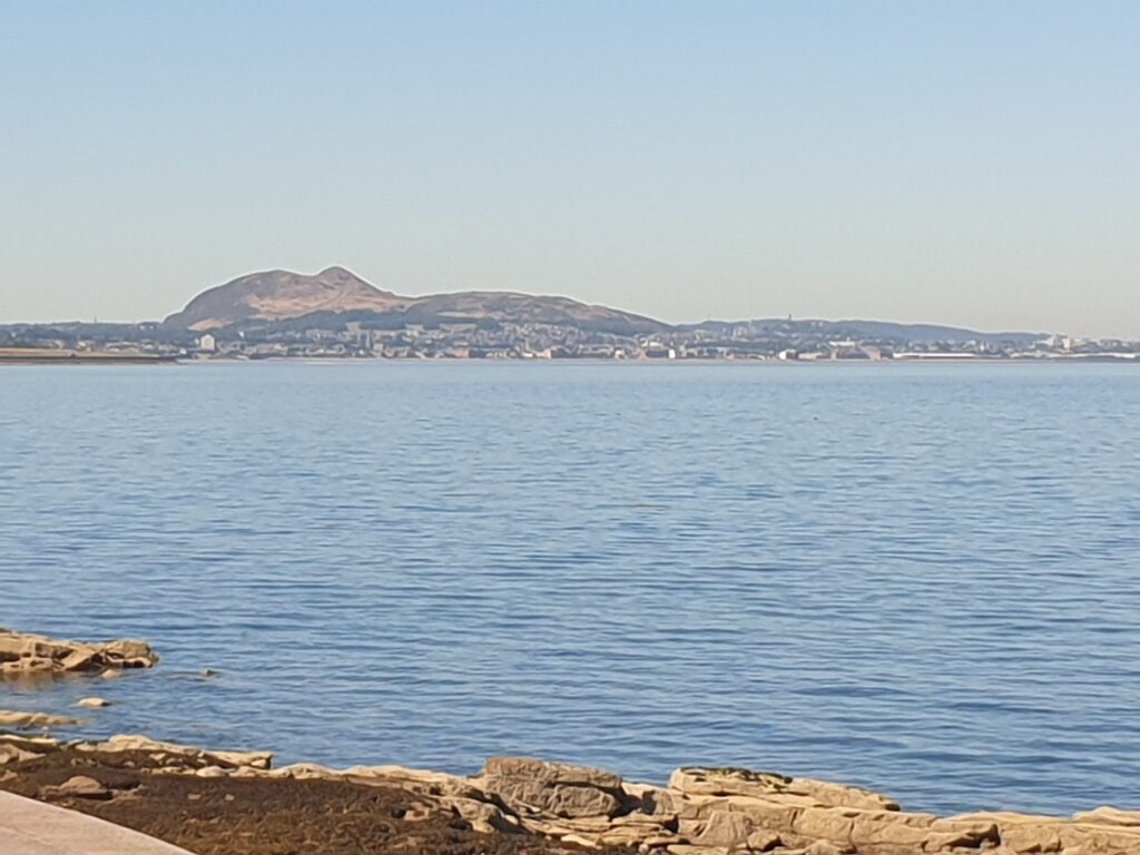
Local resident and regular cyclist Paul navigated us through a series of twists and turns – and a cycle tunnel – past the iconic extinct volcano of Arthur’s Seat, until we reached the seaside at Musselburgh. From there we followed the coast of Lothian, or the southern fringes of the Firth of Forth, whichever you prefer, as the spires of Edinburgh and Arthur’s Seat became ever more distant behind us.
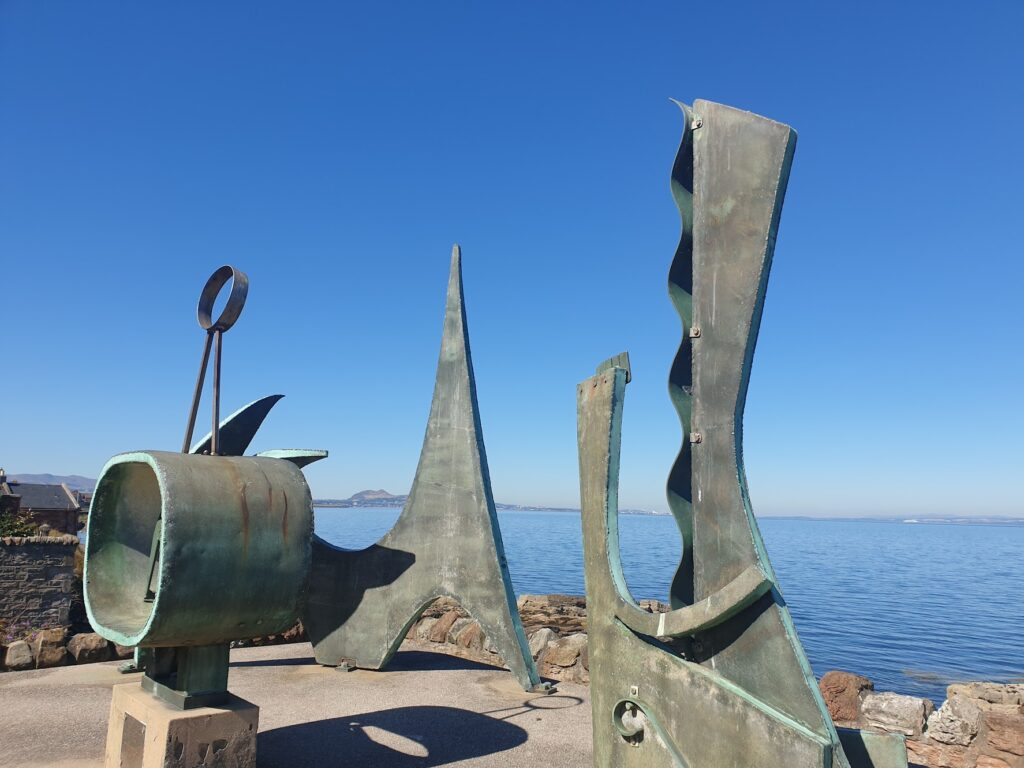
We paused in Prestonpans, site of a famous and bloody battle in the Jacobite rebellion, as every Scottish school child would know (according to Paul, whose kids have been through the Scottish education system). It had some funky public sculptures from the 1960’s, too, which made a good place to try to diagnose the odd noises coming from my bike and Jenni’s. After some pannier and mudguard adjustment – and some trial and error – I got rid of them, which was a big relief.
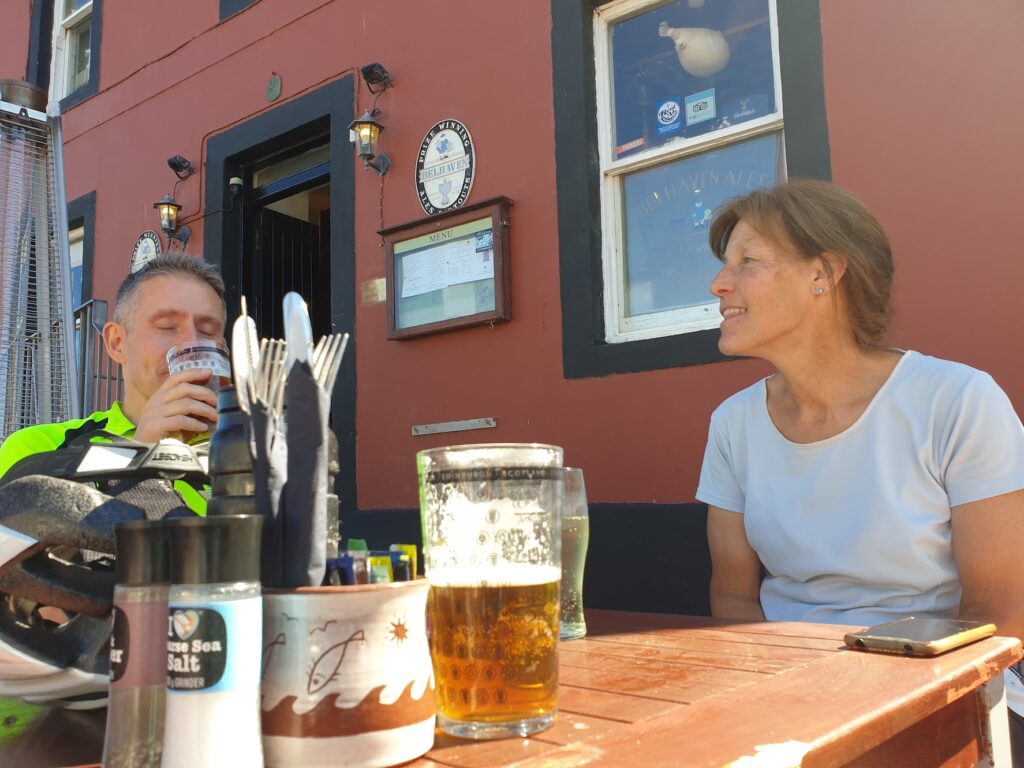
We pushed on further along the coast, and then a little inland, along moderately busy roads in the summer heat. Another pause to consult the map in pretty East Linton resulted in that rare event of missing out on an open cafe! But Dunbar was not much further, and there we found a lovely pub with an outdoor terrace, overlooking the harbour. It’s menu offered a range of versions of that Scottish staple macaroni cheese, and we all tried one, with a side of chips for an extra pound!
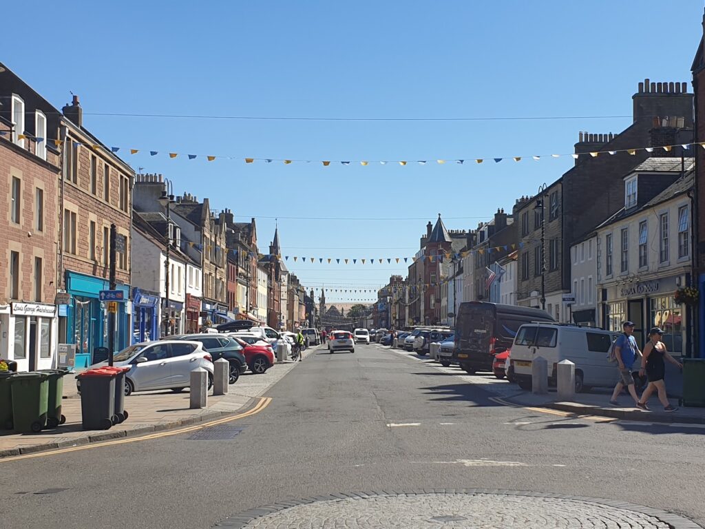
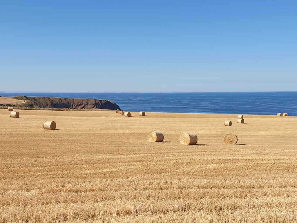
Dunbar seemed to be really a rather nice town to me. It’s high street was a prosperous looking affair, decked out with bunting. It was all very cheerful. After that, it started to get hilly. We followed Sustrans national cycle route 76 and stayed as far from the A1 and the traffic as possible. It worked pretty well, keeping us close to the sea and the sandstone cliffs, separated by golden fields full of hay bales.
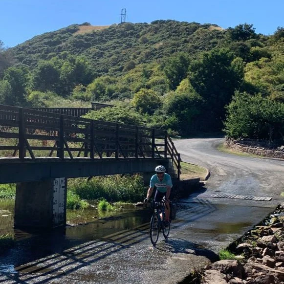
At one point we were sent plunging down into a deep cove and through an unexpected ford by a caravan site. I crossed it several times, as is the tradition, and made sure we had it in a photo. Then we had a really long and steep climb up the other side, that turned into a less steep but even longer climb in the heat. But we made it.
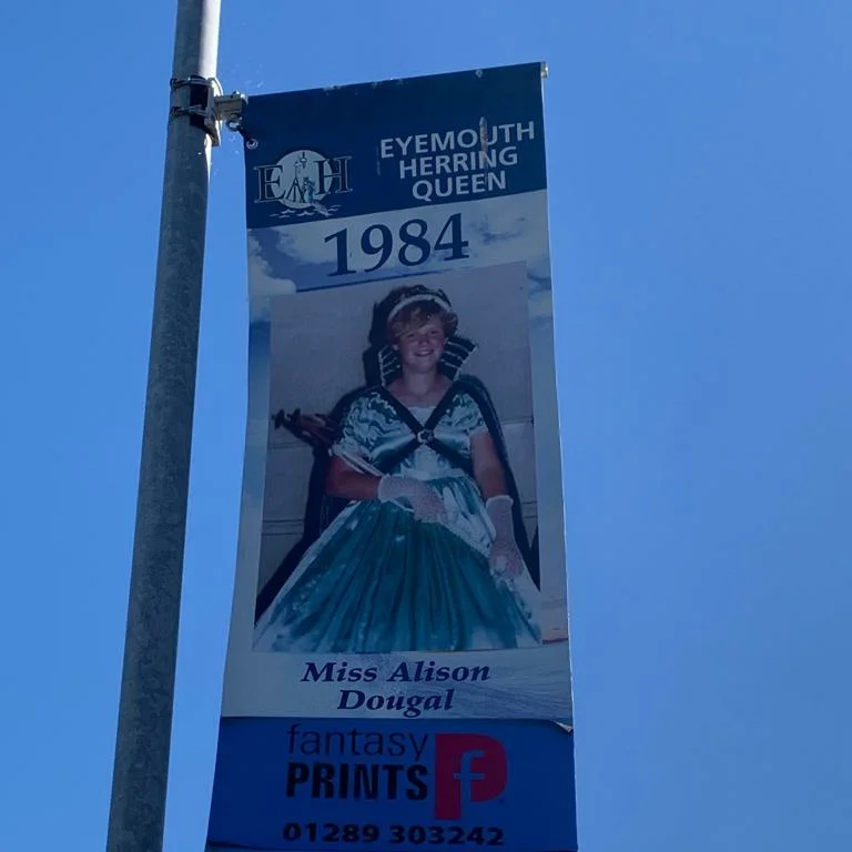
And after not too many more miles we found ourselves descending into the fishing port of Eyemouth, the end of my ninth coast to coast crossing. The streetlights of the town were all adorned with large banners, each one bearing the photograph of the Eyemouth Herring Queen from a different year, going right back to the 1940s. They came in no particular order, and there were loads of them. It was quite a sight!
Eyemouth has a large enclosed harbour with a sandy beach and high walls from which the kids were leaping into the deep water far below. I wasn’t sure I could have done it. It was at least the height of a medium olympic diving board. We had tea and cake and then noticed the time and hurried away to ride the final hour, on small undulating lanes, to Berwick-upon-Tweed and our respective trains south (Jenni) and back to Edinburgh (Paul and I). We made it with relative comfort, helped by a delay of 8 minutes to our train, which gave us plenty of time to transfer panniers back to Jenni and buy food and drink from the machines for her long journey. Then we said our goodbyes and our trains whisked us away.
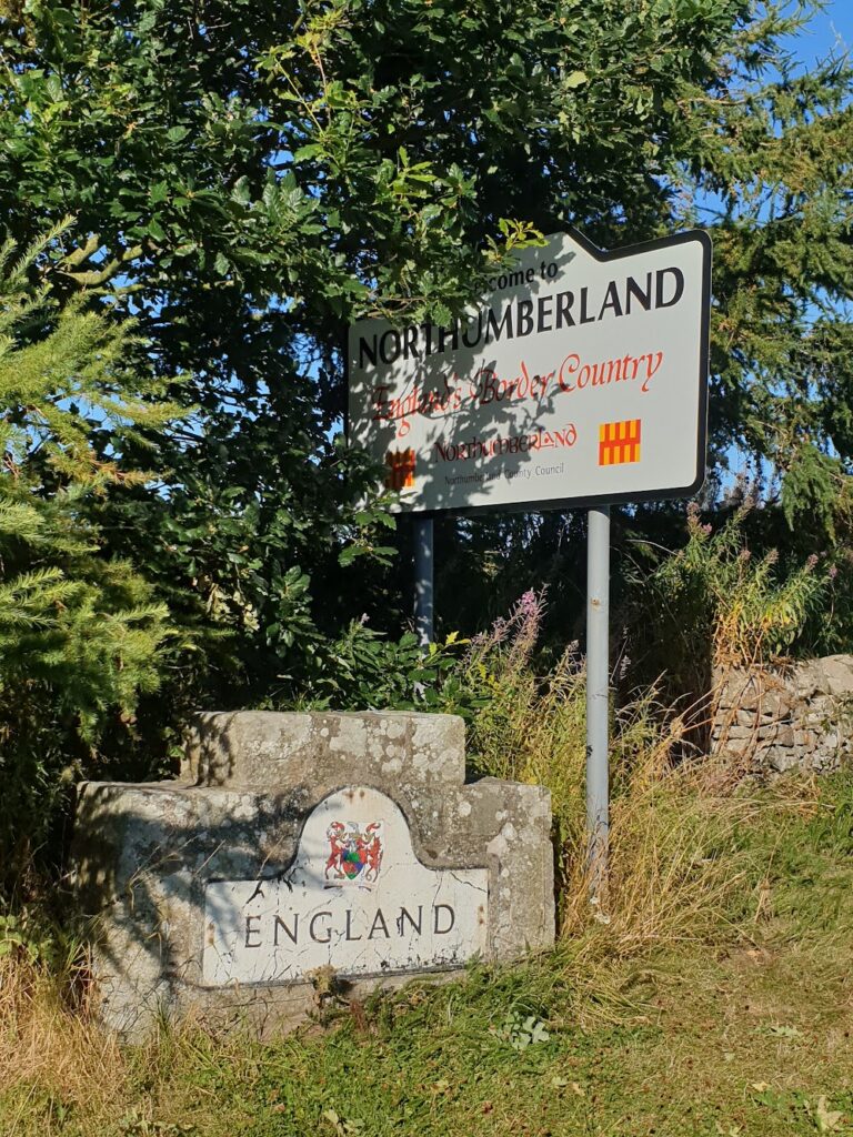
One other item of significance: a few miles short of Berwick, and before we left map 67, we reached the England – Scotland border. That felt like a milestone in my journey, approximately a third of the way there in maps; but, for the first time, albeit briefly, leaving Scotland. In fact we spent a couple of miles riding right along the border on a narrow lane, where one hedge was in Scotland and the wall opposite was in England. And we were in neither, or both. It all looked the same.
One reply on “Maps 66 & 67 – Edinburgh to Eyemouth… and England!”
Congrats on making it south of the border!