
Among the 204 OS Landranger maps of Britain, there are a few that contain a single island that fits beautifully into a 40km by 40km square: the Isle of Wight, for example, or Anglesey, or the Isle of Man; all of which are still to come in this adventure. So far we have seen how Islay fits perfectly into map 60 and Jura into map 61. And now, today, it was the turn of the Isle of Arran, which is nicely accommodated within the confines of OS map 69.
There is a major geological fault line that runs north-east to south-west across Scotland, very obviously cutting the country in two along the Great Glen from Inverness, through Loch Ness, to Fort William. The same fault line, I learned today, also splits Arran into two halves. When you circumnavigate the island, as I did this afternoon, the difference between the two halves becomes clear. The northern portion is inhospitable and contains very little other than the spectacular, rugged mountain ranges of Goat Fell, surrounded on three sides by sea. It is very beautiful; but severe and inaccessible, often shrouded by low cloud. It is a world apart from the gentler and more populated southern half of the island, where there are farms and forests.
My day began where it finished last night, in an activity centre in the lonely and beautiful village of Lochranza on the mountainous northern end. I was in no hurry to leave, because I had a relatively light 43 miles of cycling today, and plenty of time in which to do it before the last ferry left for Ardrossan, my next night’s stop. So I made full use of the available wifi and sent a lot of videos and pictures of yesterday’s Kintyre ride to the Ordnance Survey, who have asked me to do a “take over” of their social media channels (thankfully not live!). I’m new to this type of thing, and since they have been so supportive, I am keen to play my part fully. I hope it works out. Stay tuned for more details.
So it was officially after noon when I set off. My journey was anti-clockwise around the edge of the lozenge shaped island from 12 o’clock backwards, right round to Brodick ferry terminal at about 3 o’ clock. The missing piece, between Brodick and Lochranza, includes a high pass over the mountains: beautiful, I can report, in sunny weather like Jenni and I enjoyed a couple of weeks ago heading out to Islay; but perhaps better avoided on a fresher, cooler, cloudier day like today. But it was dry and bright at sea level, where I mostly needed to be, and the views to the south and west, over to Kintyre and beyond, suggested better weather might be on the way.
I had ridden my first hour or so out of Lochranza, along the water’s edge, once before, coming in the other direction. On that occasion I was with my 11 year old son Jude on our father/son cycling adventure about ten years ago. A highlight of that day was my tyre wall exploding a few miles short of Lochranza (and our ferry onwards) for no obvious reason, and my heroic mend that held for our entire Hebridean trip, with absolutely no chance of getting a replacement tyre. I’m not very practical; but I remembered seeing my friend Simon get himself out of a similar situation years before by lining his tyre wall on the inside with cardboard. It worked for him and it worked for me!
I also revisited the lovely tea room cum golf clubhouse at Machrie Bay, one of the first proper settlements half way down the west side of the island. When Jude and I stopped here, he managed to knock over his bowl of soup. They were very kind and brought him another one. Today, they had delicious sourdough bread and huge slabs of cake. Well, it was lunchtime.
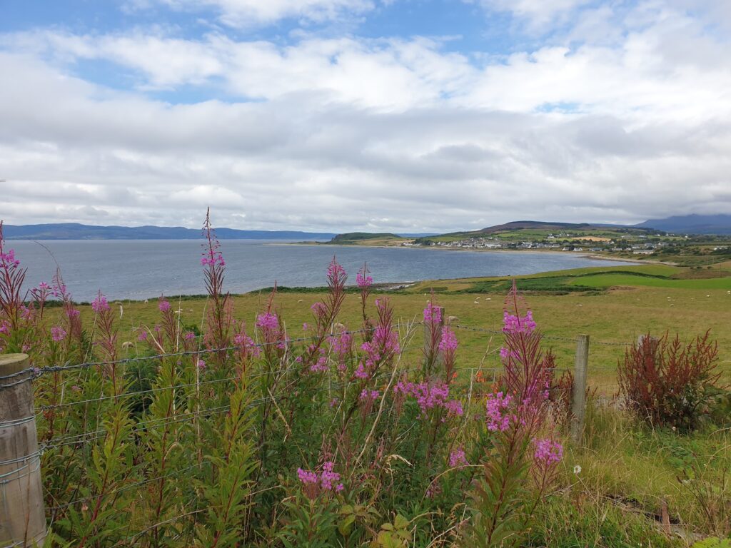
As I got closer to the bottom end of Arran, the land began to slope more gently and the steep hills became pastures. At Blackwaterfoot, near the bottom, it became genuinely warm and sunny and there was blue in the sky. The sea view looked out south west towards where I was yesterday, at the bottom of the Kintyre peninsula. But there was clearly land beyond it, out near the horizon, glowing in the sun. It could only be the coast of Northern Ireland, visible today from further away; but unseen yesterday from Kintyre in less clear conditions. The Mull of Kintyre is the closest point to the Irish mainland, and it is just 12 miles at the narrowest point, albeit between remote locations on both sides.
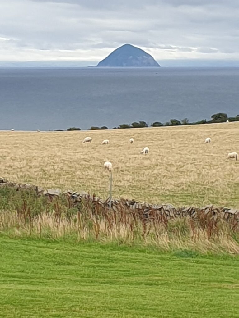
Rounding a corner, two more landmarks came into view: out to sea, to the south, sat the dome of rock that is Ailsa Craig. It lies in the sea about half way between Arran and the south Ayrshire coast, dominating the near horizon. It draws the eye and seemed to be experiencing very different weather from that which we were enjoying on Arran. The sky around it was dark, and the rock was periodically crowned by a hat of cloud. Today the island is a bird sanctuary, especially for gannets; but it has seen human habitation over the centuries. It is one of only two places in the world from which the granite, used to make the stones in the winter sport of curling, can be quarried (the other is in Wales). A ”harvest” of stone is made about once every ten years.
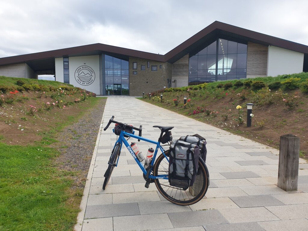
The other prominent landmark was the futuristic looking Lagg distillery, a brand new venture that is about to release its first ever whisky after 3 years of production (the minimum permitted to use the name). It is owned and operated by the same people as the 27 year old distillery at Lochranza. Their plan is to make only peated whisky at Lagg and unpeated whisky at Lochranza; but they are some way off that. I stopped and had a coffee on their upstairs terrace, overlooking Alisa Craig. Whether you like whisky (and the chance to sample free drams) or not, this is a wonderful place to come and eat and drink, and you should try and see it for yourself. I could have happily stayed a long time.
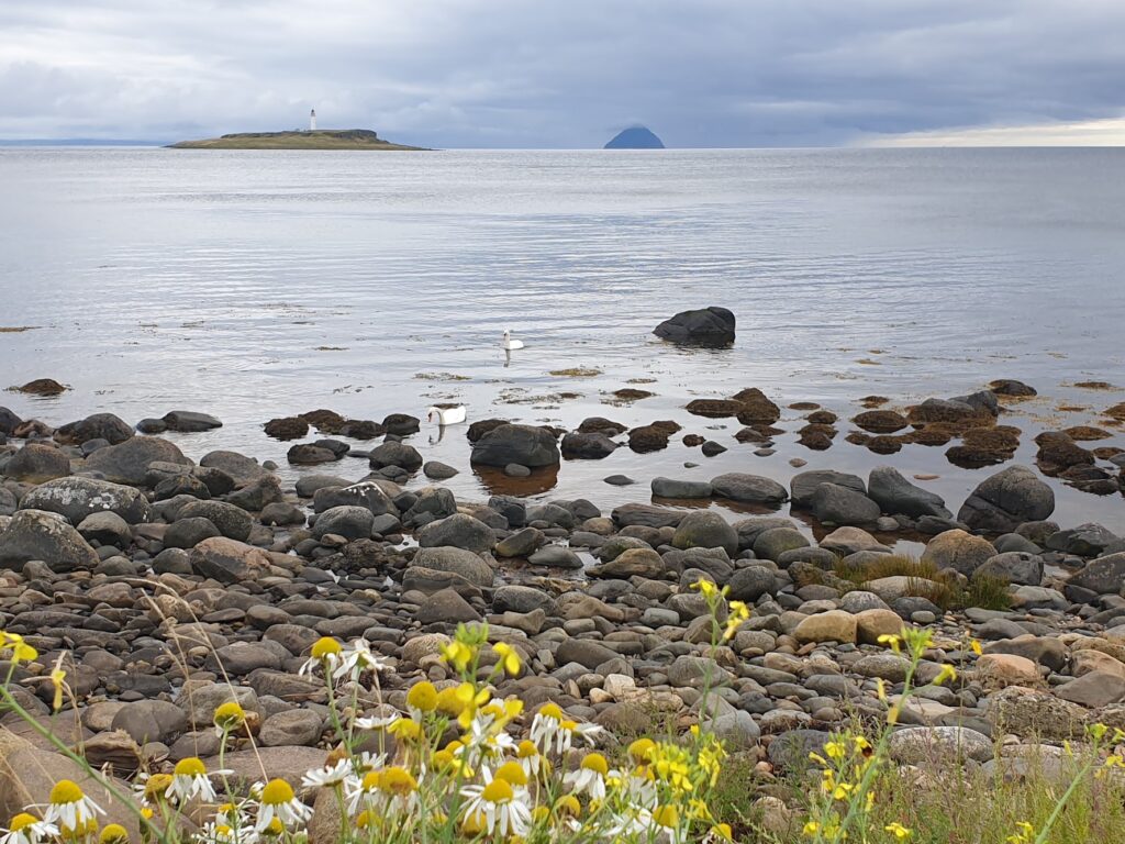
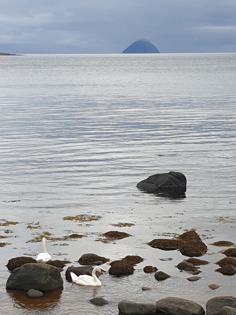
Reluctantly, I moved on and rode to the very bottom of the island at Kildonan. From here there is a stunning view out across the low lying island of Pladda, with its lighthouse, with Ailsa Craig looming large behind it. A pair of swans were dabbling among the seaweed and all was quiet. It was an enchanting place. I made a mental note to return.
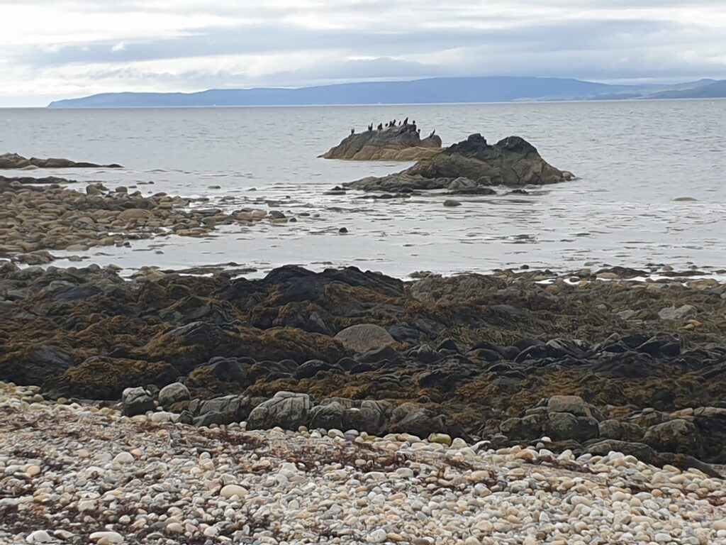
Thereafter, things got a little busier as I turned the corner once again and headed north up the east coast. Here there are the villages of Whiting Bay, and then the larger Lamlash, both sheltered by the sizeable mass of Holy Island, which lies just off the shore and houses a religious community. It reminded me of the Great Orme in Llandudno: a large headland that dwarfs the adjacent settlement.
And then, before I knew it, I was back looking up at the jagged ridges of Goat Fell, now more out of cloud than in, and the Brodick ferry terminal was upon me. I made the 6pm sailing and left Arran behind with a tinge of sadness. It is a lovely island: Scotland in miniature, according to some. It offers great walking, cycling, boating and golfing, and produces whisky, gin and beer. What’s not to like? For the last couple of miles I fell into step with a cyclist who was up on holiday from Bradford. We agreed it was rather special and he said that for the first time he was thinking of coming back to the same place for another holiday. I know I will be back, too. There are mountains to climb.
The ferry to Ardrossan took less than an hour. I have become very used to Calmac ferries in this silly trip of mine. I have sailed very nearly all of their many routes, some several times. I have lost count of the number of times I have wheeled my bike on and off the ramp. It has become a regular feature, almost a way of life. But this would be the last time. From here onwards, I will have no more need of their services to join together my coast to coast trips. It is pretty much land all the way now, and where there is a need for a ferry, it won’t be the familiar red funnels and black and white hulls of the Calmac livery. I will miss them. Without Calmac, this whole adventure could not have happened.
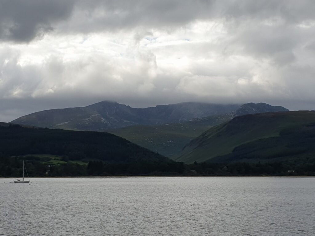
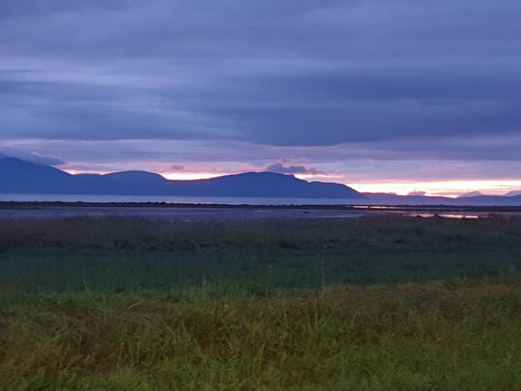
And so to Ardrossan, where it seemed to have rained hard all day. I am not going to pretend it is a pretty place. It’s not. But it does have a cracking view of Arran. And that, without a doubt, is a very good thing.
3 replies on “Map 69 – Arran”
Fantastic sunset picture looking back towards Arran!
I hear Calmac shares have plummeted in value since you posted this news….
A cracking view of Arran is, without a doubt, a very good thing – and sometimes the only redeeming feature (aesthetically speaking) of settlements found along the North Ayrshire coast. This is made all the more problematic on bad weather days, when the view to the west is obscured. This being the west of Scotland, it happens quite often!